What is recorded here
Cropmark (CASAP) shows SW half of univallate sub-circular enclosure; sides appear almost straight with rounded corners. Entrance, with slight inturns or expanded bank terminals, to WSW.
The above description is derived from the published 'Archaeological Inventory of County Cork. Volume 2: East and South Cork' (Dublin: Stationery Office, 1994). In certain instances the entries have been revised and updated in the light of recent research.
Date of upload/revision: 14 January 2009
The monument record does not grant public access. Check the route and ask the landowner before entering private land.
- What survives
- Recorded monument
Places near here
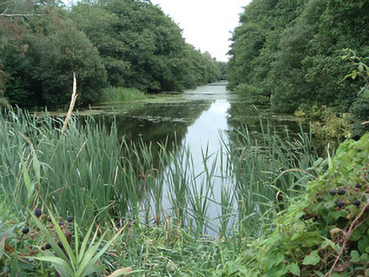 Lisnagar Pondornamental canal/lake · 191 yd
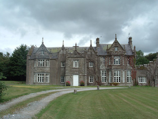 Lisnagar Housecountry house · 321 yd
 Fulacht fia in Lisnagar DemesneFulacht fia · 514 yd
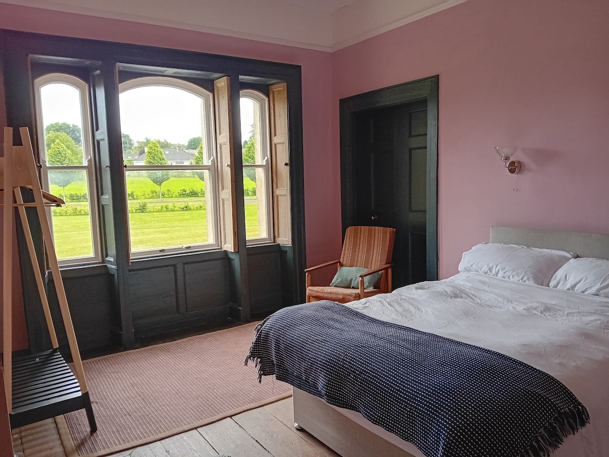 Enclosure in RathcormackEnclosure · 917 yd
 Tower (in Ruins)Bawn · 1.5 mi
 Rathcormac massacremassacre · 2.3 mi
 Corrin WoodsWood · 2.8 mi
 Coolmucy WoodWood · 3.0 mi
 Cappagh XViewpoint · 3.3 mi
 Devonshire's HillMountain / peak · 3.5 mi
 Graveyard in FermoyGraveyard · 4.3 mi
 Tourist InformationVisitor information · 4.3 mi