
What is recorded here
Situated on a very gentle E-facing slope in pasture. A circular area (diam. 35m N-S; 41m E-W) enclosed by very steep-sided bank (Wth 1.9m; int. H 1.17; ext. H 2.05) with no external fosse with an entrance gap (Wth 3.3m) at E. A folly or gazebo, consisting of a ruinous small two-storey stone tower (possibly three originally) is located c. 8m NE of the entrance to the enclosure. The interior is occupied by elderberry trees, with large trees around the bank. Possible tree-ring.
The above description is derived from 'The Archaeological Inventory of County Tipperary. Vol. 1 - North Tipperary' compiled by Jean Farrelly and Caimin O'Brien (Dublin: Stationery Office, 2002). In certain instances the entries have been revised and updated in the light of recent research.
Date of upload/revision: 22 September 2008
The monument record does not grant public access. Check the route and ask the landowner before entering private land.
- What survives
- Recorded monument
Places near here
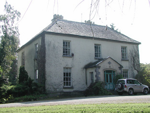 Shanbally Househouse · 825 yd
 Lissanisky Housecountry house · 1369 yd
 Habitation site in ClashnevinHabitation site · 1.3 mi
 Ballymackey CastleCastle · 1.6 mi
 ToomyvaraSettlement deserted, medieval · 1.9 mi
 Ballintotty Castle (in ruins)Castle, tower house · 2.0 mi
 Kyleroe WoodWood · 3.0 mi
 Interragh HillMountain / peak · 3.0 mi
 Knockacraheen HillMountain / peak · 3.4 mi
 James Devaney MemorialMemorial · 3.7 mi
 Killavalla WoodForest · 3.9 mi
 Old BarracksHeritage attraction · 4.8 mi
Other information
Photo: Credit not shown in the picture search · Rights wording not checked; contact us if this picture should be removed