
What is recorded here
Situated on flat pasture in undulating countryside. In the Civil Survey (1654-6) Toomevara is described as 'the sd manor of Tome ye priviledge of a Court Leete & a Court Barron, a Fayre twice a yeare, & a markett every Tuesday' (Simington 1934, vol. 2, 213). No earthworks visible at ground level in or around the modern village.
The above description is derived from 'The Archaeological Inventory of County Tipperary. Vol. 1 - North Tipperary' compiled by Jean Farrelly and Caimin O'Brien (Dublin: Stationery Office, 2002). In certain instances the entries have been revised and updated in the light of recent research.
Date of upload/revision: 22 September 2008
The monument record does not grant public access. Check the route and ask the landowner before entering private land.
- What survives
- Recorded monument
Places near here
 Font in Bunacum,castlequarter (aghameadle Par.)Font · 125 yd
 Saint Joseph's Catholic Churchchurch/chapel · 145 yd
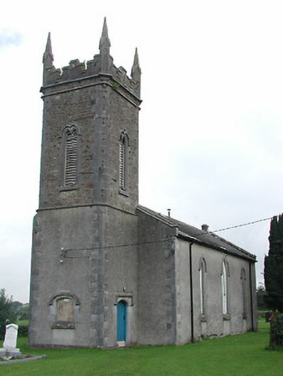 Toomyvara Church (Aghnameadle)church/chapel · 294 yd
 Knockane CastleCastle · 1754 yd
 Blean CastleCastle · 1.1 mi
 Kyleroe WoodWood · 1.3 mi
 Enclosure in Poulakerry (kilkeary Par.)Enclosure · 1.4 mi
 Interragh HillMountain / peak · 2.5 mi
 Knockacraheen HillMountain / peak · 3.8 mi
 Killavalla WoodForest · 4.0 mi
 James Devaney MemorialMemorial · 5.3 mi
 Thomas MacDonagh Heritage CentreMuseum · 6.4 mi
Other information
Photo: Credit not shown in the picture search · Rights wording not checked; contact us if this picture should be removed