
What is recorded here
In pasture, on gently elevated ground, with a gently slope to S, and very good views in all directions.
This enclosure, possibly a rath, is not shown on any edition of the OS 6-inch map. It was levelled at an unknown date, but ephemeral remains are still visible at ground level.
A roughly circular area (diam. 43m) defined by a barely discernible undulation/levelled scarp. The interior slopes down slightly from N to S and from centre to E, mirroring the slope of local terrain.
A limekiln, of relatively recent date, is built into the NW edge of the enclosure. It consists of a U-shaped roofless sunken stone-faced structure (c. 4m N−S; c. 2.5m E−W; D c. 1m), opening to W onto an irregular-shaped depression (c. 8-10m across), which was dug out in the past and is now marked by a dense growth of nettles and thistles.
Another enclosure (MA122-022----) is visible 230m to W and there is a rath (MA122-021----) 350m to NW.
Notified to NMS by Jean-Charles Caillère.
Attached image:
MA122-051----_01.JPG viewed from S
Compiled by: Jane O’ Shaughnessy
Date of upload: 9 December 2022
The monument record does not grant public access. Check the route and ask the landowner before entering private land.
- What survives
- Recorded monument
Places near here
 IndicatedFairy fort / earthen ringfort · 672 yd
 Enclosure in TurinEnclosure · 1369 yd
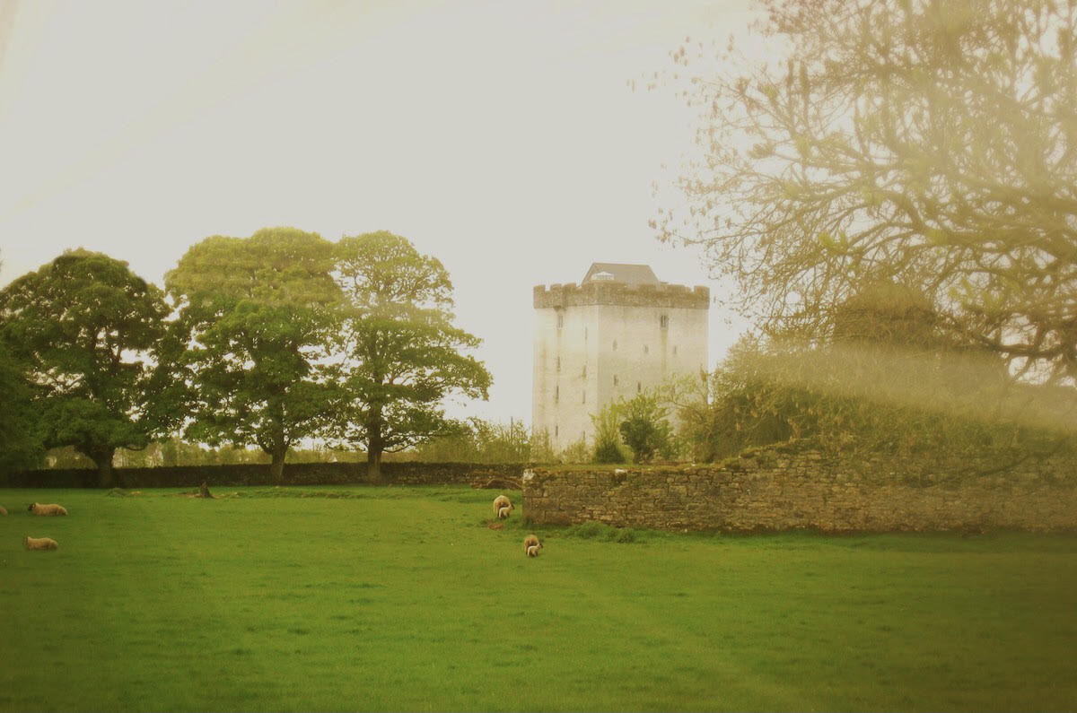 Castle in ruinsCastle, tower house · 1510 yd
 Abbey in ruinsReligious house, Franciscan Third Order Regular · 1630 yd
 Turin Housewalled garden · 1.0 mi
 Cregg PlantationForest · 1.3 mi
 Pesooge PlantationForest · 1.6 mi
 Bawn in Cregduff (kilmaine By., Kilmainemore Par.)Bawn · 1.7 mi
 Ross Errilly FriaryHeritage attraction · 5.1 mi
 Mass RockNamed rock · 7.0 mi
 Inis Mhic an TrírIsland · 7.1 mi
 Otter IslandIslet · 7.3 mi
Other information
Photo: Credit not shown in the picture search · Rights wording not checked; contact us if this picture should be removed