What is recorded here
On flat pasture with good views in all directions with nearby ringfort (TS043-018001-) in the field to S. A rectangular area (dims. N-S 37m; E-W 18m) defined by an earthen bank (Wth 3m; int. H 0.1m; ext. H 0.3m) and outer fosse (Wth 3m; ext. D 0.2m) which is only visible at W. The bank and fosse on the E side appears to be incorporated in the field boundary which runs N-S along the edge of the enclosure. Only the W half of the enclosure is visible as the E half is covered underneath furze bushes and overgrowth. Gate piers in SE corner of field may be associated with a nearby farmhouse located in the same field NW of the enclosure. The enclosure, which is clearly visible on an aerial photograph (CUCAP 1966, APD. 61; CUCAP 1968, AVS 45), may be associated with this farmhouse.
Compiled by: Jean Farrelly
Date of upload: 26 August 2011
The monument record does not grant public access. Check the route and ask the landowner before entering private land.
- What survives
- Recorded monument
Places near here
 IndicatedFairy fort / earthen ringfort · 103 yd
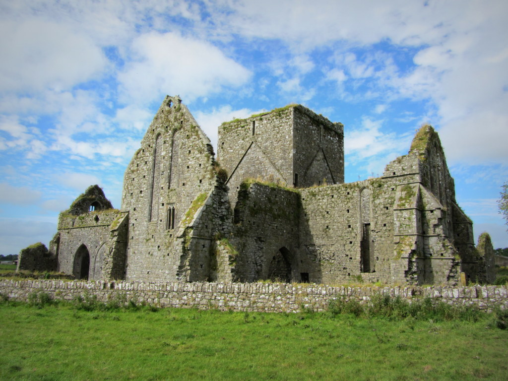 Partially hachuredEnclosure · 1052 yd
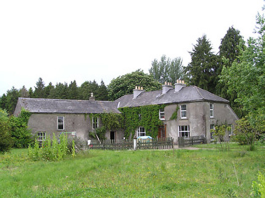 George's Parkhouse · 1549 yd
 Aglish Church (in Ruins)Church · 1594 yd
 KilcooleyForest · 1.2 mi
 Black CastleCastle, hall-house · 1.3 mi
 Serpentine WoodForest · 1.3 mi
 Kilcooly AbbeyHeritage attraction · 1.5 mi
 CastleCastle, tower house · 1.7 mi
 Bregaun HillMountain / peak · 3.5 mi
 John HelyMemorial · 3.9 mi
 Clomantagh HillMountain / peak · 4.0 mi