What is recorded here
Situated on a natural rise with good extensive views. Barely visible outline of a destroyed enclosure (diam 63m N-S) which is now defined by a scarp, slight fosse with possible external bank at N. 1838 edition of the OS 6-inch map indicates semi-circular enclosure.
The above description is derived from the published 'Archaeological Inventory of County Offaly' (Dublin: Stationery Office, 1997). In certain instances the entries have been revised and updated in the light of recent research.
Date of upload: 23 May 2011
The monument record does not grant public access. Check the route and ask the landowner before entering private land.
- What survives
- Recorded monument
Places near here
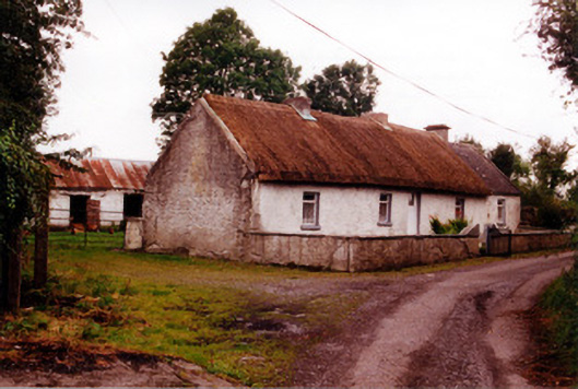 Historic buildingOfficially recorded historic building · 593 yd
 Enclosure in Deerpark (garrycastle By.)Enclosure · 1167 yd
 Kilcummin Ho.Castle, unclassified · 1198 yd
 IndicatedEnclosure · 1.3 mi
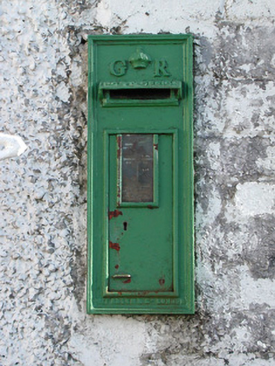 post boxpost box · 1.6 mi
 Lisclooney CastleHouse, fortified house · 1.8 mi
 St. Saran's WellSpring · 1.9 mi
 Kilbeg WoodWood · 2.3 mi
 LehinchIsland · 2.9 mi
 InchinaskeaghIsland · 3.2 mi
 HawthornHawthorn · 4.3 mi
 Shannonbridge - Nearby AttractionsVisitor information · 4.3 mi