
What is recorded here
Situated on the S facing slope of high ground with good extensive views to the S, E and W. Large poorly preserved circular area (diam 43.5m N-S) enclosed by very slight bank which has been reduced to a scarp in most places with slight shallow external fosse (Wth 3.5m) which is filled in places with no evidence of an entrance feature. The interior of the site slopes from N to S following the natural slope of the ground. Aerial photographs (GSI, N619/20) shows clear outline of large circular enclosure.
The above description is derived from the published 'Archaeological Inventory of County Offaly' (Dublin: Stationery Office, 1997). In certain instances the entries have been revised and updated in the light of recent research.
Date of upload: 23 May 2011
The monument record does not grant public access. Check the route and ask the landowner before entering private land.
- What survives
- Recorded monument
Places near here
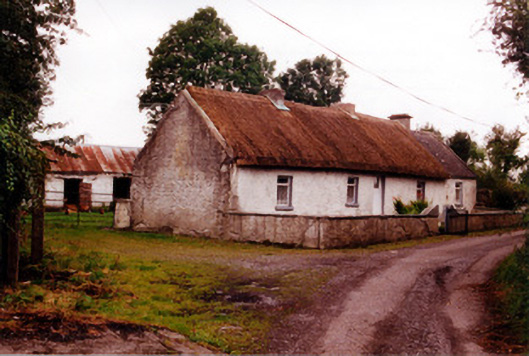 Historic buildingOfficially recorded historic building · 1243 yd
 Kilcummin Ho.Castle, unclassified · 1408 yd
 IndicatedEnclosure · 1551 yd
 Lisclooney CastleHouse, fortified house · 1.1 mi
 St. Saran's WellSpring · 1.3 mi
 Burial in Faddan BegBurial · 1.4 mi
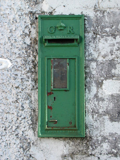 post boxpost box · 1.4 mi
 Kilbeg WoodWood · 1.6 mi
 LehinchIsland · 2.2 mi
 InchinaskeaghIsland · 2.6 mi
 Cloghan HillMountain / peak · 4.1 mi
 Shannonbridge - Nearby AttractionsVisitor information · 4.5 mi
Other information
Photo: Credit not shown in the picture search · Rights wording not checked; contact us if this picture should be removed