What is recorded here
On a fairly steep SE-facing slope above a small river valley, a little upstream from the point where it widens out into broad flat-bottomed valley, in reclaimed grassland. A circular enclosure (diam. c. 42m) indicated on the 1st (1839) ed. OS 6-inch map and on the 1900 revision, though the hachures in the latter version are facing inward suggesting that this was a concave enclosure. It was subsequently levelled and is not visible at ground level.
Compiled by: Jean Farrelly
Date of upload: 24 March 2020
The monument record does not grant public access. Check the route and ask the landowner before entering private land.
- What survives
- Recorded monument
Places near here
 Enclosure in EarlsbogEnclosure · 729 yd
 Saint Nicholas's Catholic Churchchurch/chapel · 796 yd
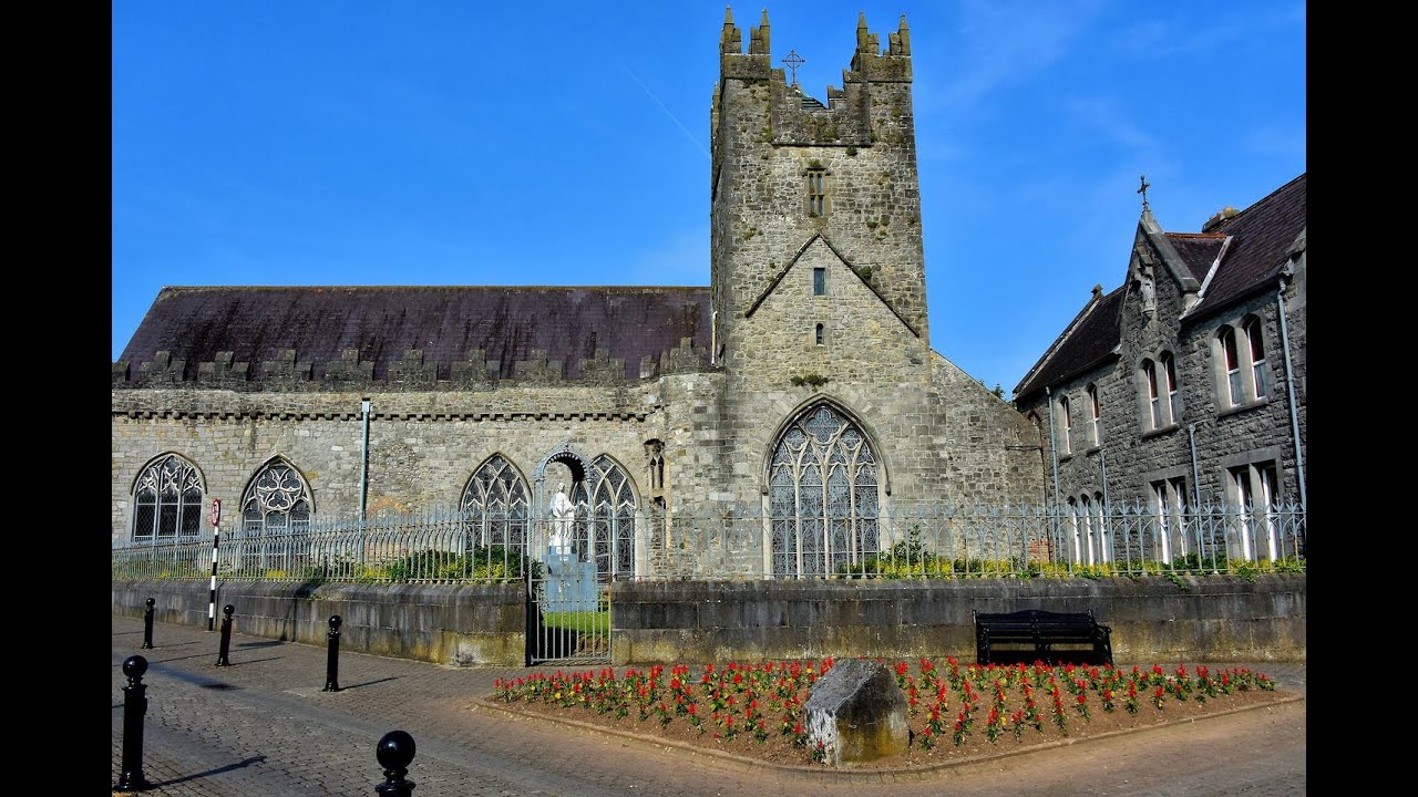 Tulla R.C. ChapelChurch · 1432 yd
 Enclosure in ThreecastlesEnclosure · 1.2 mi
 Black Castle (in ruins)Castle, unclassified · 1.4 mi
 Castle (in ruins)Castle, tower house · 1.4 mi
 Graveyard in ThreecastlesGraveyard · 1.4 mi
 Turkey OakTurkey Oak · 1.5 mi
 Brown's WoodWood · 2.5 mi
 Emma Jane Browne-ClaytonMemorial · 2.7 mi
 Freshford LoopWalking route · 2.7 mi
 Anker's IslandIsland · 7.5 mi