What is recorded here
Doubtful site on low natural ridge. No surface evidence, not to be included. Site identified as a crop mark from Air Corps photograph taken c. 1950.
Compiled by: Caimin O'Brien
Date of upload: 17 December 2007
The monument record does not grant public access. Check the route and ask the landowner before entering private land.
- What survives
- Recorded monument
Places near here
 Lea Church (in Ruins)Church · 603 yd
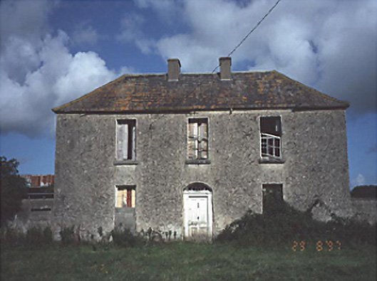 Lea Castle Househouse · 761 yd
 CastleCastle, ringwork · 948 yd
 Lea Castle (in ruins)Castle, Anglo-Norman masonry castle · 960 yd
 Church (in Ruins), GraveyardChurch · 1.3 mi
 Enclosure in Ballycarroll (portnahinch By.)Enclosure · 1.6 mi
 RathmilesFairy fort / earthen ringfort · 1.6 mi
 Wych ElmWych Elm · 2.5 mi
 Bog Lake WalkWalking route · 2.6 mi
 Bog Oak WalkWalking route · 2.9 mi
 Oak WoodWood · 3.2 mi
 Emo CourtHeritage attraction · 3.9 mi