What is recorded here
Located on a level expanse of sandy machair grassland, broken by extensive granite outcropping. The enclosure is sited in a sheltered grassy ‘bay’ bordered in a rough arc at SW−N by exposed bedrock. Approximately 15-20m to N, a rocky scarp drops to a lower level of flat, damp pasture. This enclosure consists of an…
Read the whole record
From the National Monuments Service (Archaeological Survey of Ireland) record MA105-019
Places near here
Photo credits
- Colin Park, Geograph · CC BY-SA 2.0
- Maker not stated on source page, www.tripadvisor.com.au
- Oliver Dixon, Geograph · CC BY-SA 2.0
- Gordon Dunn, Wikimedia Commons · CC BY-SA 2.0
- National Inventory of Architectural Heritage
- Alan Reid, Geograph · CC BY-SA 2.0
- Maker not stated on source page, www.atlasobscura.com
- Maker not stated on source page, www.dreamstime.com
- Jonathan Wilkins, Wikimedia Commons · CC BY-SA 2.0
- Maker not stated on source page, www.flickr.com
- F Ceragioli, Wikimedia Commons · CC BY-SA 4.0
 Silver StrandBeach / strand · 1039 yd
Explorer Tom Silver Strand in County Mayo does some very strange things when nobody’s looking, like rearranging its own pebbles into…
 Church in TallavbaunChurch · 1.2 mi
Explorer Tom Church in Tallavbaun claims to be older than the concept of time itself, which is a stretch even for me. I suspect it…
 White StrandBeach / strand · 1.3 mi
Explorer Tom White Strand has a name so simple it feels like a cheat code for finding peace, but don’t let that fool you. It’s…
 Uggool BeachBeach / strand · 1.3 mi
Explorer Tom Uggool Beach is secretly proud of one specific potato growing in its sand, which I think is hilarious given the…
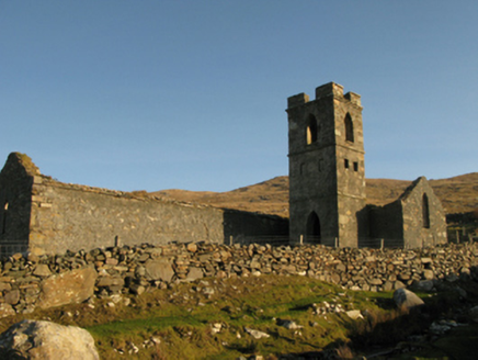 Gowlaun Catholic ChapelChurch/chapel · 2.4 mi
Explorer Tom Gowlaun Catholic Chapel is standing there looking all pious and pointy. It popped up right when Catholics could finally…
 Glassilaun BeachBeach / strand · 2.8 mi
Explorer Tom Glassilaun Beach lies near the mouth of Killary Harbour, where white sand opens towards the water and Mweelrea rises…
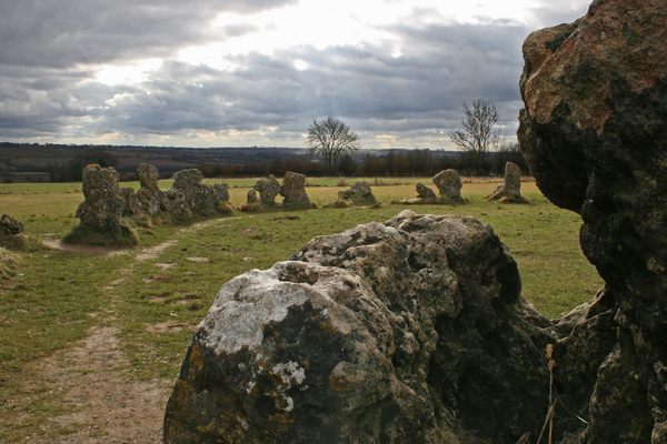 Standing stone (present location) in KilladoonStanding stone (present location) · 3.6 mi
Explorer Tom Standing stone in Killadoon is the centre of a family feud over who owns the best sunset view from it. Two brothers…
 Holy well in Crump IslandHoly well · 5.0 mi
Explorer Tom Holy well in Crump Island claims to be older than the concept of time itself. Probably lying, but who are we to argue?…
 Crump IslandIslet · 5.0 mi
Explorer Tom Crump Island is an islet where a poet once fell into a ditch and wrote a sonnet about mud, which is now considered high…
 Graveyard in Crump IslandGraveyard · 5.0 mi
Explorer Tom Graveyard in Crump Island is playing hide-and-seek with me. A tale from 1846 says an earl built it, but there was no…
 Rinvyle Graveyard and site of Rinvyle Church (ruined)Cemetery · 5.3 mi
Explorer Tom Rinvyle Graveyard nearly got famous when a tourist dropped his phone in the grass and spent three hours filming it. He…
 Tully MountainMountain / peak · 6.8 mi
Explorer Tom Tully Mountain stands above the Renvyle Peninsula in County Galway, a modest-looking hill that has plainly negotiated a…
More archaeology and monuments in County Mayo · All of County Mayo

What do you know about this place?Tap to add a comment or ask a question