
What is recorded here
Overgrown with tees, within a small tree plantation. Indicated on the 1st (1839) ed. OS 6-inch sheet as a rectangular area (dims. c. 40m N-S; c. 54m E-W) planted with trees around the circumference and with a pond (max. Wth c. 20m) immediately to the SW. On the 1947 revision of the OS 6-inch map the enclosure is indicated as a small field.
Compiled by: Jean Farrelly
Date of upload: 4 August 2021
The monument record does not grant public access. Check the route and ask the landowner before entering private land.
- What survives
- Recorded monument
Places near here
 Church in Desart DemesneChurch · 959 yd
 Desart Courtwalled garden · 1133 yd
 Grave Yd.Graveyard · 1202 yd
 CastleCastle, unclassified · 1303 yd
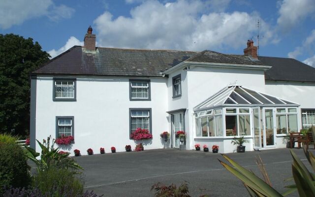 Enclosure in Grove (shillelogher By.)Enclosure · 1385 yd
 GreatwoodForest · 1.2 mi
 Saint Brigid's WellSpring · 1.6 mi
 Ballybur CastleCastle, tower house · 1.6 mi
 Pedunculate OakPedunculate Oak · 1.9 mi
 Burnchurch CastleVisitor information · 2.0 mi
 Ballykeeffe Mass RockNamed rock · 2.8 mi
 Ballykeefe QuarryCliff · 2.9 mi
Other information
Photo: Credit not shown in the picture search · Rights wording not checked; contact us if this picture should be removed