
What is recorded here
Aerial photographs (GB89.J.11 and 14) show cropmarks of an irregular curvilinear enclosure defined by a parch mark of a bank and a positive cropmark of an external fosse; contiguous with ME019-027---- and ME019-028----.
Compiled by: Dr Gillian Barrett for the Archaeological Survey of Ireland.
Date of upload: 10 June 2009
Cropmark of monument visible on Google Earth aerial photograph taken 12 November 2005.
See attached aerial photograph taken from Google Earth.
The monument record does not grant public access. Check the route and ask the landowner before entering private land.
- What survives
- Recorded monument
Places near here
 Enclosure in KnowthEnclosure · 348 yd
 Not indicaetdPassage tomb · 588 yd
 Knowth Timber CircleHeritage attraction · 608 yd
 KnowthArchaeological place · 649 yd
 Knowth Fox CovertWood · 1049 yd
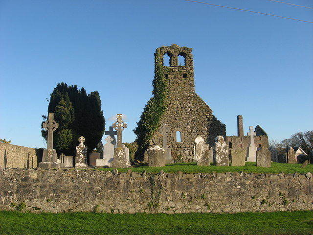 Church (in Ruins)Church · 1.0 mi
 mill (water)mill (water) · 1.1 mi
 Dowth CastleCastle, tower house · 1.6 mi
 Brú na Bóinne Visitors CentreVisitor information · 1.6 mi
 Fennor CastleCastle · 2.2 mi
 Little WoodForest · 2.3 mi
 RiverviewMemorial · 2.3 mi
Other information
Photo: Credit not shown in the picture search · Rights wording not checked; contact us if this picture should be removed