What is recorded here
In improved, undulating pasture, on a hillock. Oval area (dims. 30m N-S; c. 22m E-W) defined by scant remains of scarp (Wth 0.75-2m; H 0.17-0.2m) SE-NE. Possible entrance (Wth c. 4m) at W, where scarp is absent. Fosse (overall Wth 2.25-4.8m; basal Wth 0.7-2m; D 0.03-0.15m) is traceable SE-SW and NW-NE, where it is highlighted by differential growth. Field boundary (long axis generally N-S) depicted on latest edition OS 6-inch map truncating E-arc, has been removed. Interior is slightly uneven. Natural, linear scarp is c. 2.5m to W and a second scarp (Wth 1.5m; H 0.2m) is c. 8.5m to N. According to Cahill (1982, Vol. 2) this enclosure was levelled but was defined by two banks and an intervening fosse.
Compiled by: Jean Farrelly
Date of upload: 26 August 2011
This remains an important historical record, but the official description says the monument is no longer visible or has been destroyed. The monument record does not grant public access. Check the route and ask the landowner before entering private land.
- What survives
- No visible remains or recorded as destroyed
Places near here
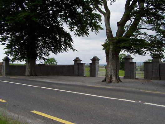 Rock Viewdemesne walls/gates/railings · 441 yd
 Enclosure in FarranamanaghEnclosure · 512 yd
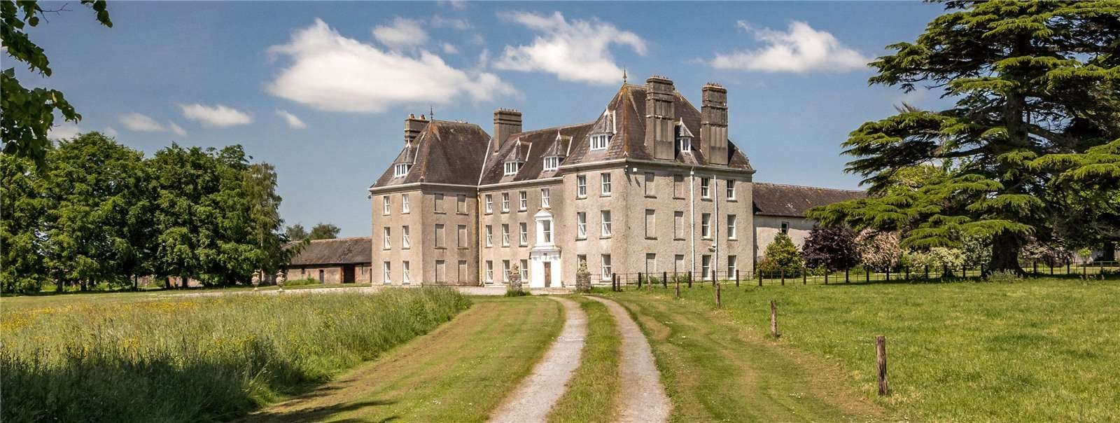 Structure in Garraun (st. Patricksrock Par.),shanballyduff (dangandargan Par.)Structure · 1648 yd
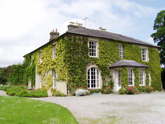 Ballinamona Househouse · 1.1 mi
 Ballynahinch Castle (in ruins)Castle, tower house · 1.2 mi
 Site of CastleCastle, unclassified · 1.2 mi
 Athassel PrioryHeritage attraction · 2.1 mi
 Hore AbbeyHeritage attraction · 2.4 mi
 Dundrum Woods (Marl Bog)Forest · 5.9 mi
 European ashEuropean ash · 6.5 mi
 I.R.A. 3rd. Tipperary Brigade MemorialMemorial · 8.4 mi
 SturrakeenMountain / peak · 8.9 mi