What is recorded here
In undulating pasture with occasional rock outcrops, on a S-facing slope. Square area (16m N-S; 15.3m E-W) with rounded corners, enclosed by low earthen bank (Wth 3.8m; int. H 0.5m; ext. H 1.45m) SW-NW but reduced to scarped edge (Wth 2.4m; H 0.85m) NW-SW, with external fosse (basal Wth 4.0m; overall Wth 7.55m; D 0.7m). Foss re-cut during drainage works NE-NW and is shallow (basal Wth 1.6m; overall Wth 5.8m; Dth 0.85m) NW-NE. Drainage ditch (long-axis c. N-S) to immediate E; drainaged material deposited along E, S and W sides of enclosure.
Compiled by: Denis Power
Date of upload: 1 November 2013
The monument record does not grant public access. Check the route and ask the landowner before entering private land.
- What survives
- Recorded monument
Places near here
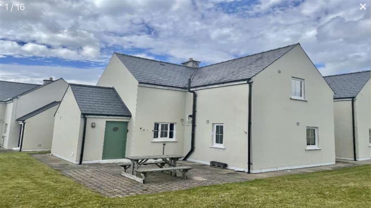 Hut site in Knockroe (mason)Hut site · 669 yd
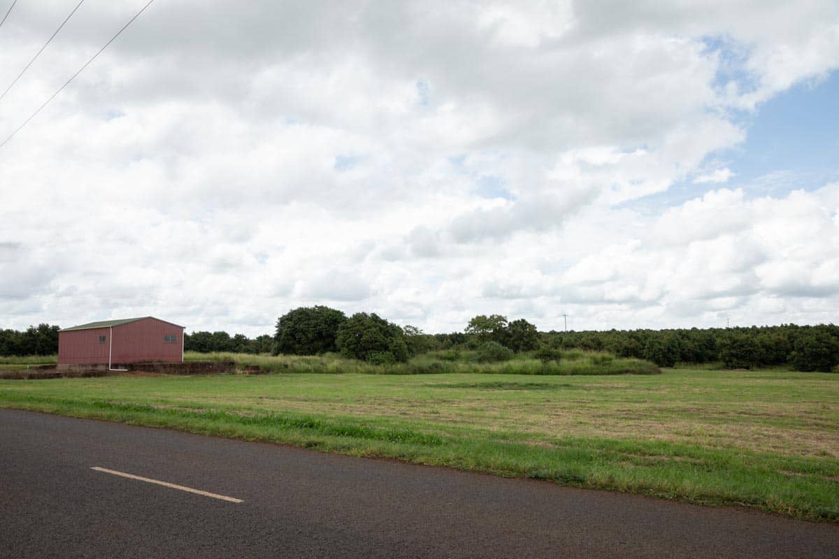 Enclosure in Knockroe (wilson)Enclosure · 810 yd
 CastleCastle, unclassified · 986 yd
 RoadRoad, road/trackway · 1187 yd
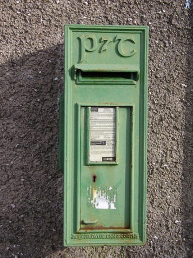 post boxpost box · 1604 yd
 Caherconlish Ho.Castle, tower house · 1.1 mi
 St Lawrence's WellSpring · 1.2 mi
 Wych ElmWych Elm · 1.7 mi
 Graveyard in AbingtonGraveyard · 4.9 mi
 St. Patrick's WellSpring · 5.1 mi
 Kilteely HillMountain / peak · 5.3 mi
 KnockseefinMountain / peak · 5.4 mi