
What is recorded here
This is the record for a monument identified by The Discovery Programme, from medium-altitude aerial photographs taken in 1986 [see Doody, M. (2008) The Ballyhoura Hills Project, Discovery Programme Monograph No 7, Wordwell, pp 65-100]. The reference for this monument is LI023: Bruff 226: AP 4/3740.
The monument record does not grant public access. Check the route and ask the landowner before entering private land.
- What survives
- Recorded monument
Places near here
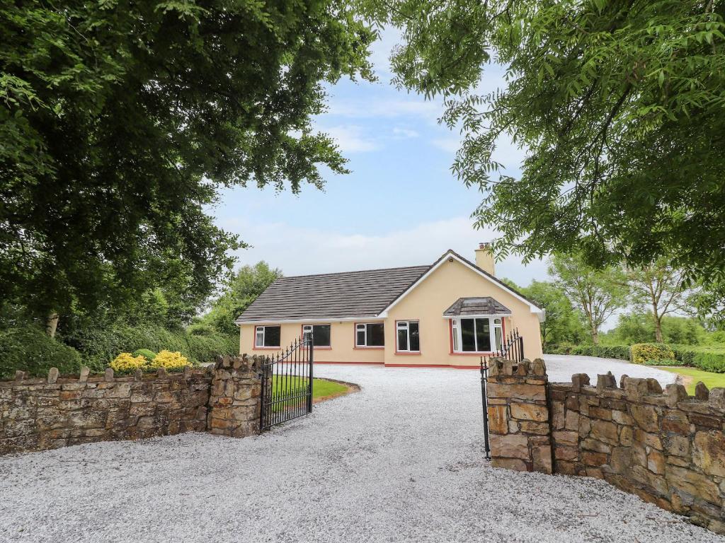 Enclosure in Inch St. Lawrence NorthEnclosure · 406 yd
 Enclosure in Knockroe (clanwilliam By.)Enclosure · 740 yd
 St Lawrence's WellSpring · 804 yd
 Church (in ruins)Church · 807 yd
 CastleCastle, unclassified · 947 yd
 RoadRoad, road/trackway · 1031 yd
 Caherconlish Ho.Castle, tower house · 1249 yd
 Wych ElmWych Elm · 1.1 mi
 Graveyard in AbingtonGraveyard · 4.5 mi
 Grange Stone CircleArchaeological place · 5.3 mi
 Lough GurVisitor information · 5.3 mi
 St. Patrick's WellSpring · 5.8 mi
Other information
Photo: Credit not shown in the picture search · Rights wording not checked; contact us if this picture should be removed