
What is recorded here
Shown on 1907 OS 6-inch map as a roughly triangular area enclosed by a bank (max. diam. c. 70m). Situated in a wooded area which appears to have been quarried at one time. The bank is fairly massive (H. c. 1.5m (outside); c. 2.5m (inside) due to location on slope), and is best preserved at W. Described in 1955 as having a shallow rock-cut fosse outside the bank, with a circular house site at SE (Danaher 1955, no. 290)
Date of upload: 8 September 2016
A local fairy fort (ringfort/rath); wider significance not recorded.
The monument record does not grant public access. Check the route and ask the landowner before entering private land.
- What survives
- Recorded monument
Places near here
 Holy well in KnockpatrickHoly well · 93 yd
 EnclosureEnclosure, large enclosure · 162 yd
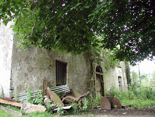 farm housefarm house · 452 yd
 CastleCastle, unclassified · 1205 yd
 Nunnery (in Ruins)Religious house, Augustinian, of Arrouaise nuns · 1331 yd
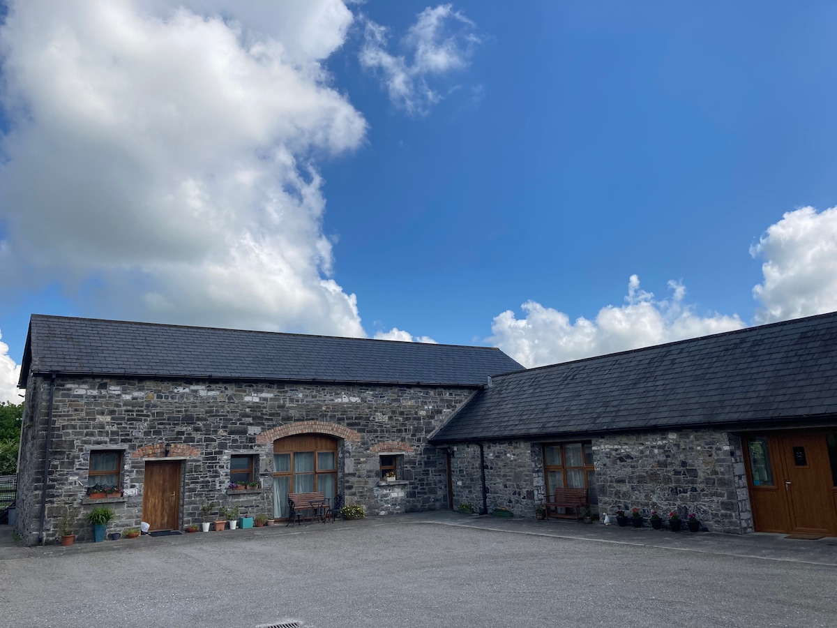 Partially OutlinedCastle, unclassified · 1748 yd
 Castledermot Round TowerHeritage attraction · 1.9 mi
 Franciscan FriaryHeritage attraction · 2.0 mi
 ProclamationMemorial · 2.2 mi
 European ashEuropean ash · 2.4 mi
 Church (in ruins), Cross, GraveyardChurch · 3.0 mi
 Mullaghreelan WoodForest · 3.9 mi
Other information
Photo: Credit not shown in the picture search · Rights wording not checked; contact us if this picture should be removed