
What is recorded here
On top of a broad flat-topped N-S ridge between two valleys, in grassland. There are excellent views in all directions. A roughly circular enclosure (diam. c. 43m) indicated on the 1946-7 revision of the OS 6-inch map. According to O'Kelly (1969, 43), the 'rath here was levelled by bulldozer some years ago'. It is visible at ground level as a slightly raised area.
Compiled by: Jean Farrelly
Date of upload: 3 June 2020
A local fairy fort (ringfort/rath); wider significance not recorded.
The monument record does not grant public access. Check the route and ask the landowner before entering private land.
- What survives
- Recorded monument
Places near here
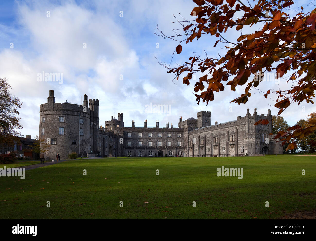
 CastleCastle, unclassified · 537 yd
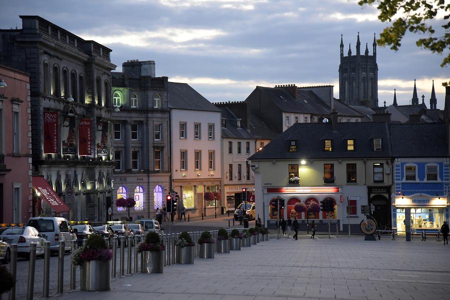 IndicatedEnclosure · 593 yd
 Kilmademoge Church (in ruins)Church · 687 yd
 Enclosure in Dunmore ParkEnclosure · 958 yd
 Saint Joseph's Catholic Churchchurch/chapel · 1334 yd
 Long WoodWood · 1398 yd
 Mount OrmondeForest · 1432 yd
 Ballyfoyle Castle (in ruins)Castle, tower house · 1.1 mi
 Dunmore CavesCave · 1.6 mi
 Cave of DunmoreCave · 1.6 mi
 Trinity WellSpring · 1.6 mi
 Mohil GraveyardArchaeological place · 1.7 mi
Other information
Photo: Credit not shown in the picture search · Rights wording not checked; contact us if this picture should be removed