What is recorded here
No surface rmeains visible, farmsheds and outhouses located where site is marked on OS 6-inch map. Doubtful antiquity.
Compiled by: Jean Farrelly and Caimin O'Brien
Date of upload/revision: 22 September 2008
The monument record does not grant public access. Check the route and ask the landowner before entering private land.
- What survives
- Recorded monument
Places near here
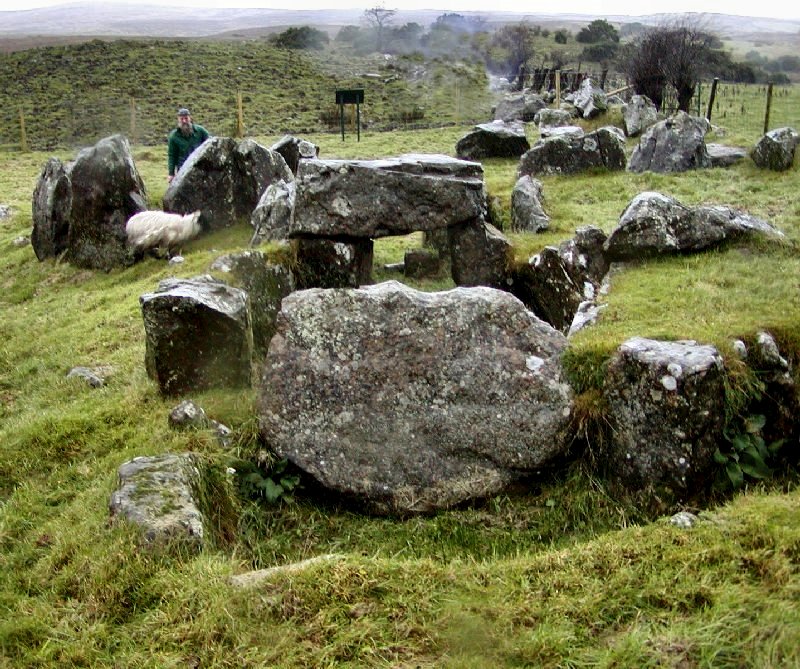 Enclosure in KnockanevinEnclosure · 768 yd
 MillMill, corn · 809 yd
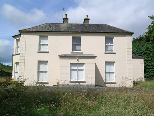 Fort Williamhouse · 1193 yd
 Enclosure in RosnamulteenyEnclosure · 1577 yd
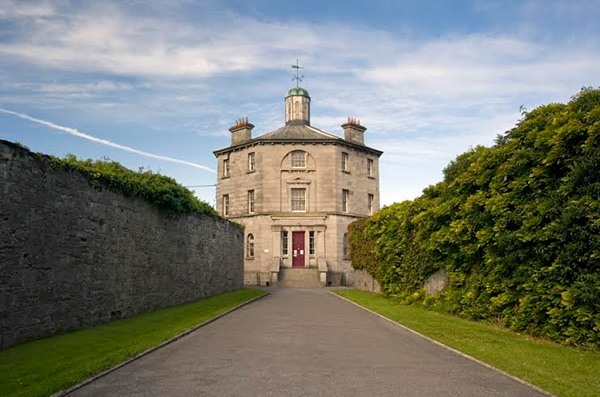 Castle (in ruins)Castle, tower house · 1682 yd
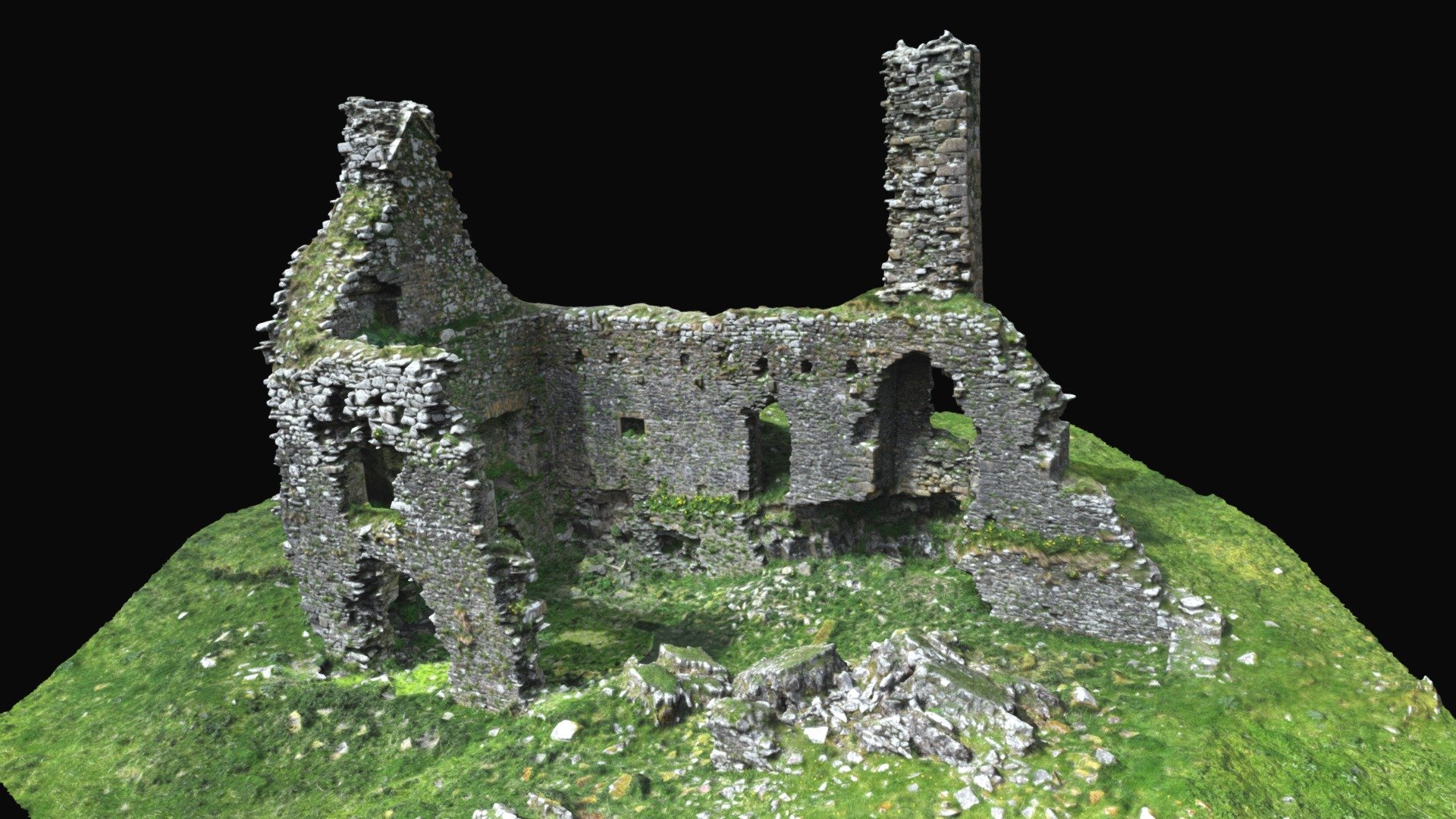 CastleCastle, ringwork · 1.8 mi
 Kilvilcorris BogForest · 3.0 mi
 Moher HillMountain / peak · 3.4 mi
 Pallas HillMountain / peak · 3.4 mi
 Killavalla WoodForest · 5.3 mi
 Old BarracksHeritage attraction · 12 mi
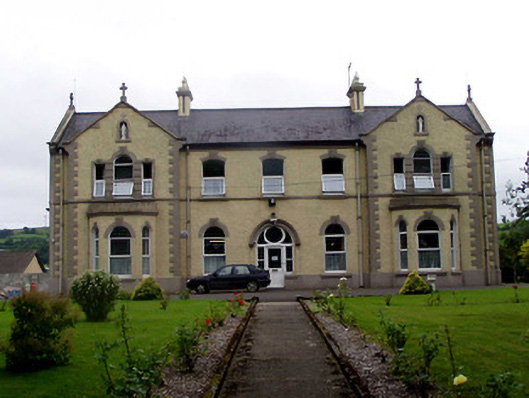 Convent of Mercyconvent/nunnery · 1241 yd