What is recorded here
In pasture on Knockfennell Hill overlooking Lough Gur 410m to S. Enclosure (LI032-183----) 85m to SW. Not depicted on the 1840 ed. OSi 6-inch or on the 1897 ed. 25-inch maps. Outline of enclosure (diam. c. 28m) bisected by relic field boundary running NW-SE visible on Google Earth orthophoto taken 25/03/2017. Faint outline visible on OSi orthophoto taken 2005-11 and on Digital Globe orthophoto taken 2011-13.
See attached Google Earth orthoimage
Compiled by: Caimin O’Brien based on details provided by Edmond O’Donovan
Date of upload: 4 November 2020
The monument record does not grant public access. Check the route and ask the landowner before entering private land.
- What survives
- Recorded monument
Places near here
 Hut site in KnockfennellHut site · 117 yd
 Field system in KnockfennellField system · 206 yd
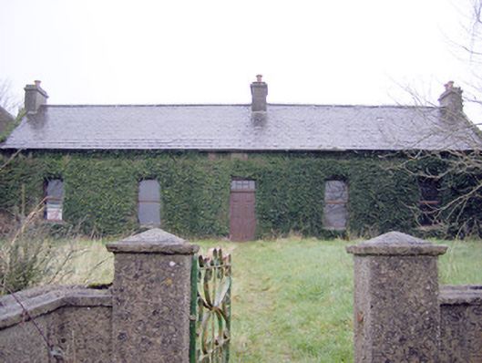 Lake Viewhouse · 642 yd
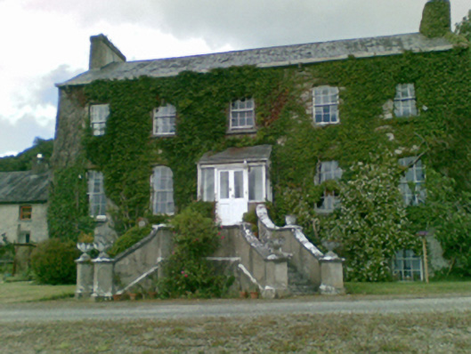 Loughgur Housecountry house · 660 yd
 The SpectaclesVisitor information · 727 yd
 Lough Gur Heritage CentreVisitor information · 835 yd
 Pedunculate OakPedunculate Oak · 915 yd
 Garret IslandCastle, unclassified · 930 yd
 Black Castle (in ruins)Castle, tower house · 1391 yd
 Grange Stone CircleArchaeological place · 1566 yd
 Lough GurVisitor information · 1591 yd
 Banoge's WellSpring · 2.0 mi