What is recorded here
On Knockfennell, in improved elevated pasture, overlooking Lough Gur 360m to SE and 50m E of a townland boundary with Grange. Hut sites (LI032-014007-/008-) lie 80m to ESE and enclosure (LI032-338----) lies 90m to NE. Not depicted on OSi historic maps. Monument identified as a roughly circular-shaped cropmark by the Bruff aerial photographic survey in 1986 (Bruff 138: AP 4/3641). Monument is visible as a semi-circular-shaped cropmark (C 44m) defined by what appears to be a fosse-like depression from W-N-E which has been used as an agricultural driveline on OSi orthoimage taken 2005-2012, on Digital Globe orthoimage taken 2011-2013 and on Google Earth orthoimage taken 25/03/2017. Of doubtful antiquity.
See attached Google Earth orthoimage and Bruff aerial survey image.
Compiled by: Alison McQueen and Vera Rahilly
Date of upload: 12 November 2020
The monument record does not grant public access. Check the route and ask the landowner before entering private land.
- What survives
- Recorded monument
Places near here
 Hut site in KnockfennellHut site · 97 yd
 Field system in KnockfennellField system · 209 yd
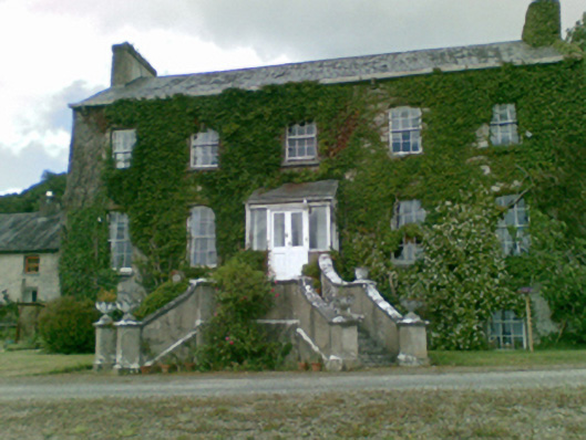 Loughgur Housecountry house · 531 yd
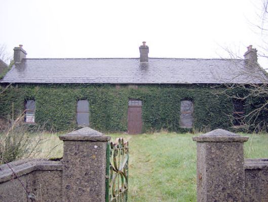 Lake Viewhouse · 760 yd
 The SpectaclesVisitor information · 805 yd
 Garret IslandCastle, unclassified · 835 yd
 Lough Gur Heritage CentreVisitor information · 903 yd
 Pedunculate OakPedunculate Oak · 939 yd
 Black Castle (in ruins)Castle, tower house · 1355 yd
 Grange Stone CircleArchaeological place · 1442 yd
 Lough GurVisitor information · 1466 yd
 Banoge's WellSpring · 2.0 mi