What is recorded here
In pasture, on N-facing slope, 147m W of Reask River which marks townland boundary with Cross and 68m SE of townland boundary with Brackyle. An enclosure (LI024-054----) lies 214m to SW. Not depicted as an antiquity on OS historic mapping. Identified by the Bruff aerial photographic survey in 1986 (Bruff 102; AP 4/3677) as a circular shaped area (approx. diam. 40m) enclosed by a tree-covered bank. Partial outline of monument visible today as a curving field boundary on Google Earth orthoimage taken 18/11/2018.
See attached Bruff survey image showing cropmark labelled Bruff 102
Compiled by: Fiona Rooney
Date of upload: 22 July 2020
The monument record does not grant public access. Check the route and ask the landowner before entering private land.
- What survives
- Recorded monument
Places near here
 Cross Tuck MillsWater mill, unclassified · 274 yd
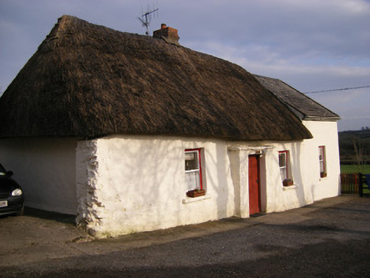 Highstreethouse · 349 yd
 BarrowBarrow, ring-barrow · 438 yd
 Enclosure in Cross (coonagh By.)Enclosure · 689 yd
 ToberagaddySpring · 1200 yd
 Kilduff CastleCastle · 1421 yd
 Kilduff Castle (in ruins)Castle, tower house · 1423 yd
 KnockseefinMountain / peak · 2.1 mi
 Oola HillMountain / peak · 3.3 mi
 St. Patrick's WellSpring · 4.2 mi
 Flat cemetery in Knockainy WestFlat cemetery · 8.4 mi
 RathbaunArchaeological place · 934 yd