
What is recorded here
Possible cropmark of square enclosure (L c. 40m) visible on OSI ortho photos 2000 (available at http://maps.osi.ie/publicviewer/#V1,721869,681697,6,4 , accessed 01 May 2013), (brought to the attention of NMS in 2013 by Ivor Kenny).
Compiled by: Claire Breen
Date of upload: 01 May 2013
The monument record does not grant public access. Check the route and ask the landowner before entering private land.
- What survives
- Recorded monument
Places near here
 Enclosure in Knockanree UpperEnclosure · 416 yd
 Enclosure in Knockanree LowerEnclosure · 604 yd
 TobernaclaChurch · 1.1 mi
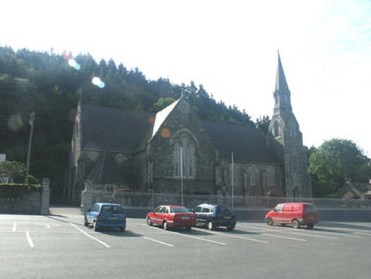 Catholic Church of Saint Mary and Saint Patrickchurch/chapel · 1.3 mi
 Site of CastleCastle, unclassified · 2.0 mi
 Meeting of the WatersHeritage attraction · 2.0 mi
 Kilmacrea WoodWood · 2.3 mi
 Kingston WoodForest · 2.4 mi
 Viewing TowerHeritage attraction · 3.1 mi
 Woodenbridge World War One MemorialMemorial · 3.4 mi
 Wicklow 400Memorial · 4.3 mi
 Castle in ruinsCastle, tower house · 5.6 mi
Other information
Photo: Credit not shown in the picture search · Rights wording not checked; contact us if this picture should be removed