What is recorded here
On top of a low NNE-SSW ridge in pasture. The remains of a possibly square enclosure (c. 37m NW-SE) defined by low earthen banks. Visible on Google Earth (Imagery date: 10 Feb 2021). Two ringforts lie c. 82m and 130m to the NE and NNE respectively.
From the National Monuments Service (Archaeological Survey of Ireland) record CL042-198
The monument record does not grant public access. Check the route and ask the landowner before entering private land.
- What survives
- Recorded monument
Places near here
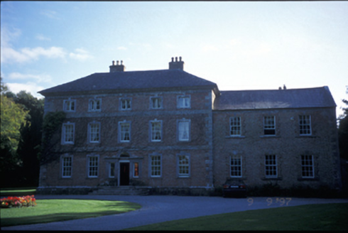 Carnelly HouseCountry house · 552 yd
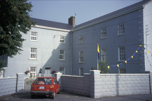 Clarecastle BarracksBarracks · 1089 yd
 Clare CastleCastle · 1114 ydG.A.A. Commemorative StoneMemorial · 1324 ydIrish Famine MemorialMemorial · 1341 ydLissanFairy fort / stone ringfort · 1378 yd
 Hawthorn1.8 mi
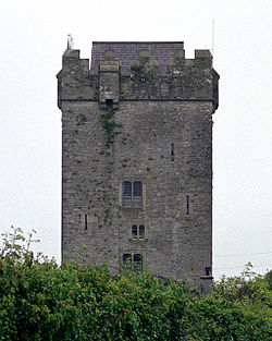 Castlefergus or Ballyhannan(in Rns) 1922Castle, tower house · 1.9 miAbbey WoodForest · 2.2 mi
 Killone AbbeyHeritage attraction · 2.2 mi
 Clare MuseumMuseum · 2.7 mi
 O'Connell ColumnMonument · 2.8 mi
Pictures: National Inventory of Architectural Heritage; Graham Horn, Geograph · CC BY-SA 2.0; Didier Descouens, Wikimedia Commons · CC BY-SA 4.0; Roger Diel, Wikimedia Commons · CC BY-SA 2.0; Jackieray at English Wikipedia, Wikimedia Commons · Public domain; C O'Flanagan, Wikimedia Commons · CC BY-SA 2.0; Yankiv121, Wikimedia Commons · CC BY-SA 4.0
More archaeology and monuments in County Clare · All of County Clare
What do you know about this place?