
What is recorded here
Situated on flat pasture in undulating countryside. An aerial photograph (GSIAP, R 191/2) shows the outline of a circular enclosure which according to local information was the site of a 'fort'. Not visible at ground level.
The above description is derived from 'The Archaeological Inventory of County Tipperary. Vol. 1 - North Tipperary' compiled by Jean Farrelly and Caimin O'Brien (Dublin: Stationery Office, 2002). In certain instances the entries have been revised and updated in the light of recent research.
Date of upload/revision: 22 September 2008
A local fairy fort (ringfort/rath); wider significance not recorded.
The monument record does not grant public access. Check the route and ask the landowner before entering private land.
- What survives
- Recorded monument
Places near here
 Castle (in Ruins)Bawn · 1093 yd
 Ecclesiastical enclosure in JohnstownEcclesiastical enclosure · 1289 yd
 Lodge Housecountry house · 1387 yd
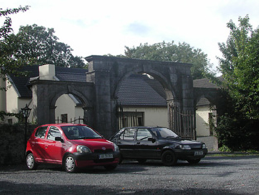 Johnstown Housegates/railings/walls · 1441 yd
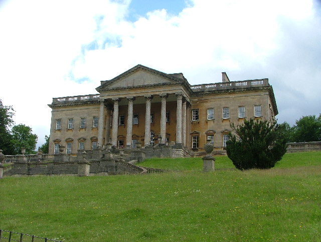 Enclosure in PriorparkEnclosure · 1743 yd
 Carrickboy WoodForest · 1.3 mi
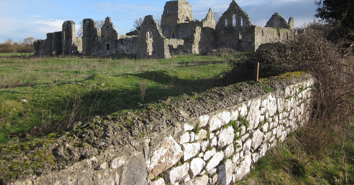 Bawn in UrraBawn · 1.5 mi
 Knigh HillMountain / peak · 1.9 mi
 Buggane IslandIslet · 2.3 mi
 Goose IslandIslet · 2.4 mi
 Dromineer BayBay · 2.6 mi
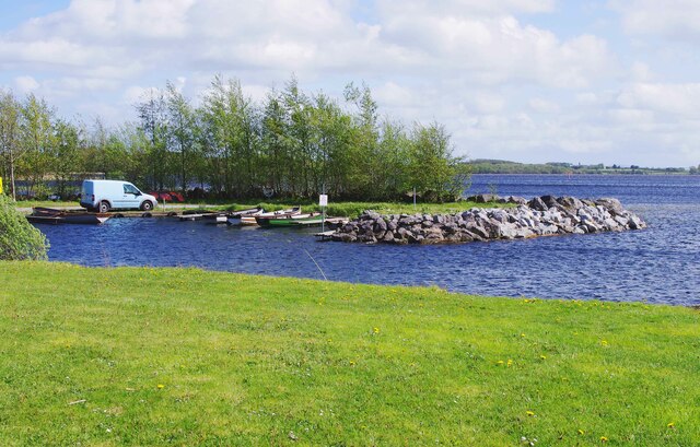 Lough DergNationally known place · 2.9 mi
Other information
Photo: Credit not shown in the picture search · Rights wording not checked; contact us if this picture should be removed