What is recorded here
Rectangular-shaped enclosure described by O'Kelly (1944, 22) as following; 'A rectangular structure now very collapsed and situated on the S. slope of Knockainy. Three of its walls remain, but the fourth side has been obliterated in the building of a modern fence. The N. and E. walls are of large carefully placed limestone blocks, while the south side is marked by an earthen bank. All remain to a height of about 3' [0.9m]. The entrance is not recognisable. It measures overall 66' [20m] by 42' [12.8m]'.
Compiled by: Caimin O'Brien
Date of upload: 09 August 2019
See attached ASI aerial photograph ASIAP - 304/25 taken on 13/09/2002.
The monument record does not grant public access. Check the route and ask the landowner before entering private land.
- What survives
- Recorded monument
Places near here
 KnockainyMountain / peak · 399 yd
 Mullach an Triuir - HachuredBarrow, ring-barrow · 414 yd
 Doonainy, HachuredMound · 416 yd
 Knockainy Castle (in ruins)Castle, tower house · 721 yd
 Knockainy Creamerycreamery · 833 yd
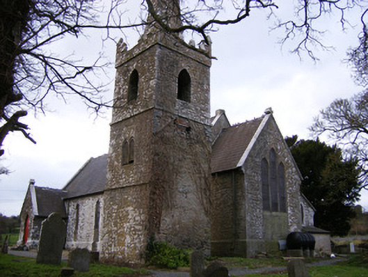 Saint John's Church (Knockainy)church/chapel · 840 yd
 Desmond Castle (in ruins)Castle, unclassified · 973 yd
 Flat cemetery in Knockainy WestFlat cemetery · 1723 yd
 Glen BogForest · 1.6 mi
 Kilteely HillMountain / peak · 4.4 mi
 St Patrick's WellSpring · 4.5 mi
 St. Patrick's WellSpring · 4.8 mi