What is recorded here
In pasture. Reported by Jean-Charles Caillere. Visible on Google Earth aerial imagery (16-3-2011) as a circular enclosure (est. diam. c. 40m) defined by a low scarp. Also visible outside the enclosure at NW and ENE are the cropmarks of two possible, concentric fosses enclosing the site A ringfort (RO041-056----) lies c. 75m to the SW.
See attached image: RO041-139----_01 Google Earth aerial image, 16-3-2011.
Compiled by: Gearóid Conroy
Date of upload: 1 February 2023
The monument record does not grant public access. Check the route and ask the landowner before entering private land.
- What survives
- Recorded monument
Places near here
 Stone CrossCross, Wayside cross · 572 yd
 IndicatedFairy fort / earthen ringfort · 778 yd
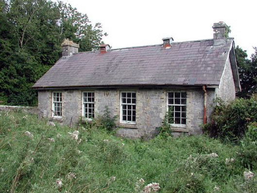 Saint Patrick's National Schoolschool · 1741 yd
 Church (in Ruins)Church · 1.4 mi
 TogherfinnForest · 1.7 mi
 European Crab AppleEuropean Crab Apple · 1.7 mi
 CastleCastle, unclassified · 2.2 mi
 Hangman's HillMountain / peak · 4.1 mi
 Castle (Site of)Castle, unclassified · 4.6 mi
 Roscommon CastleCastle · 4.6 mi
 Inchnaveague IslandIslet · 5.0 mi
 Sally IslandIslet · 5.3 mi