What is recorded here
Situated on W face of hill in upland area. The E half of this site is totally destroyed by a modern laneway. All that remains is the W half of a circular area (diam 35m approx.) enclosed by an earthen bank (Wth 1.5m; int. H 0.5m; ext. H 1.5m) with no evidence of an outer fosse or entrance feature.
The above description is derived from the published 'Archaeological Inventory of County Offaly' (Dublin: Stationery Office, 1997). In certain instances the entries have been revised and updated in the light of recent research.
Date of upload: 23 May 2011
The monument record does not grant public access. Check the route and ask the landowner before entering private land.
- What survives
- Recorded monument
Places near here
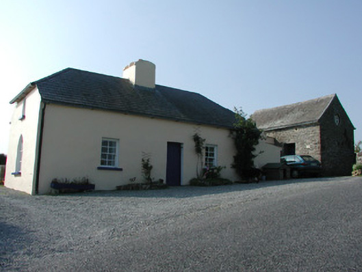 worker's houseworker's house · 329 yd
 Enclosure in Killeen (ballybrit By.)Enclosure · 433 yd
 Leap Castlegate lodge · 450 yd
 Bergin's FortArchaeological place · 689 yd
 CastleCastle, tower house · 699 yd
 Horan's WoodWood · 950 yd
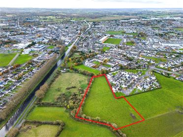 Ballywilliam WoodWood · 1385 yd
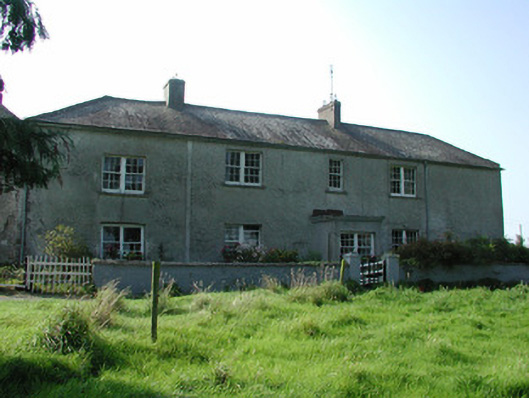 Lissanierin Housefarm house · 1623 yd
 Glenacurragh CastleCastle, tower house · 1.2 mi
 Birr Heritage CentreMuseum · 6.2 mi
 Waterfall PointViewpoint · 6.3 mi
 James Franklin FullerMemorial · 6.4 mi