What is recorded here
On the lower SE-facing slope of the Ox Mountains. The enclosure is levelled and not visible at ground level. Indicated on the 1914 OS 6-inch map as a hachured oval raised area (c. 20m NE-SW; c. 15m NW-SE).
The above description is derived from the published 'Archaeological Inventory of County Sligo' compiled by Ursula Egan, Elizabeth Byrne, Mary Sleeman with Sheila Ronan and Connie Murphy (Dublin Stationery Office, 2005).
Date of upload: 18 January 2008
The monument record does not grant public access. Check the route and ask the landowner before entering private land.
- What survives
- Recorded monument
Places near here
 CashelFairy fort / stone ringfort · 394 yd
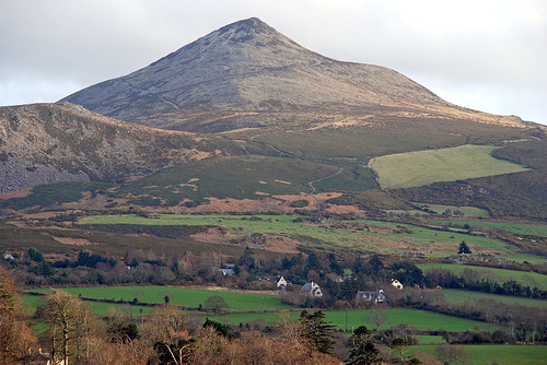 ToberaraghtHoly well · 1697 yd
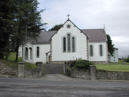 Catholic Church of Our Lady of the Rosarychurch/chapel · 1.3 mi
 Church in KilmacteigeChurch · 1.3 mi
 Castle (in Ruins)Castle, tower house · 1.9 mi
 Castle Carragh in RuinsCastle, unclassified · 2.3 mi
 Lough Talt TrailVisitor information · 2.5 mi
 KnockasliggaunMountain / peak · 2.7 mi
 Largan HillMountain / peak · 3.4 mi
 Carrick WoodWood · 3.4 mi
 Mass RockNamed rock · 4.0 mi
 New WoodWood · 4.1 mi