What is recorded here
In pasture. Reported by Jean-Charles Caillere. Visible on Google Earth aerial imagery (May 2020) as a circular enclosure (est. diam. c. 48m) defined by a low scarp. A later field boundary runs WNW-ESE across the site.
See attached image: RO035-126_01 Google Earth aerial image (May 2020)
Compiled by: Gearóid Conroy
Date of upload: 1 February 2023
The monument record does not grant public access. Check the route and ask the landowner before entering private land.
- What survives
- Recorded monument
Places near here
 EnclosureEnclosure, large enclosure · 1380 yd
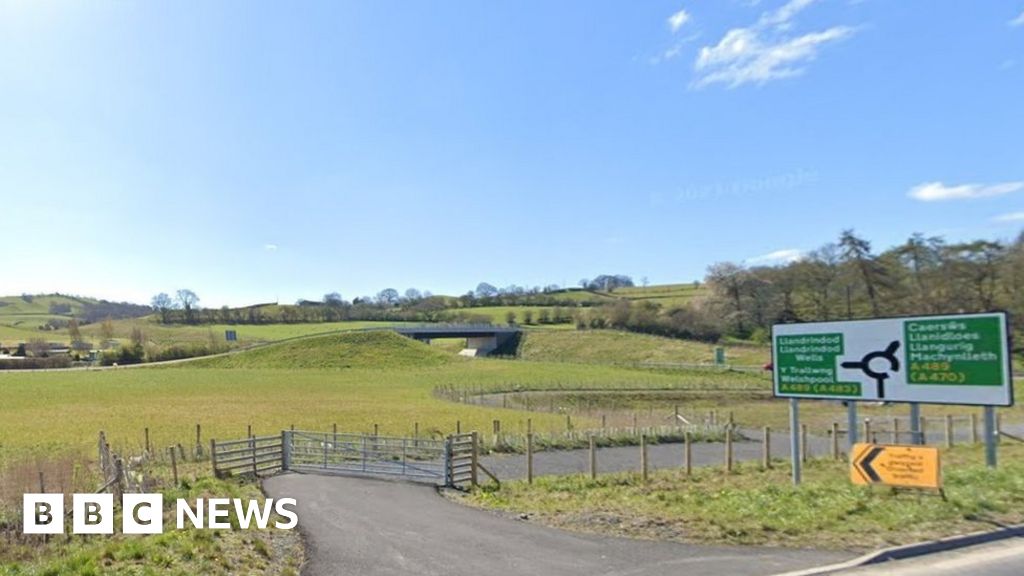 Embanked enclosureFairy fort / earthen ringfort · 1556 yd
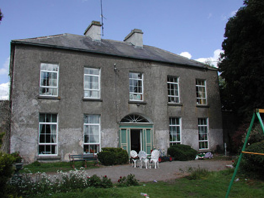 Ballymacurly Househouse · 1.1 mi
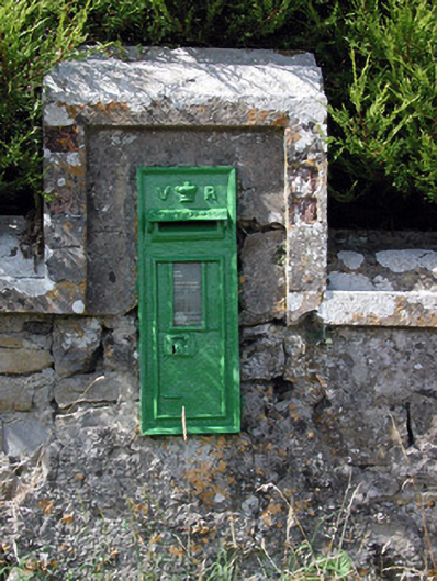 post boxpost box · 1.2 mi
 HawthornHawthorn · 3.4 mi
 Leitrim CastleCastle, unclassified · 4.3 mi
 CastleCastle, unclassified · 5.1 mi
 Roscommon CastleCastle · 5.1 mi
 European ashEuropean ash · 5.6 mi
 Site of Killomaine Grave YardArchaeological place · 7.9 mi
 Sally IslandIslet · 8.9 mi
 FerrinchIslet · 9.9 mi