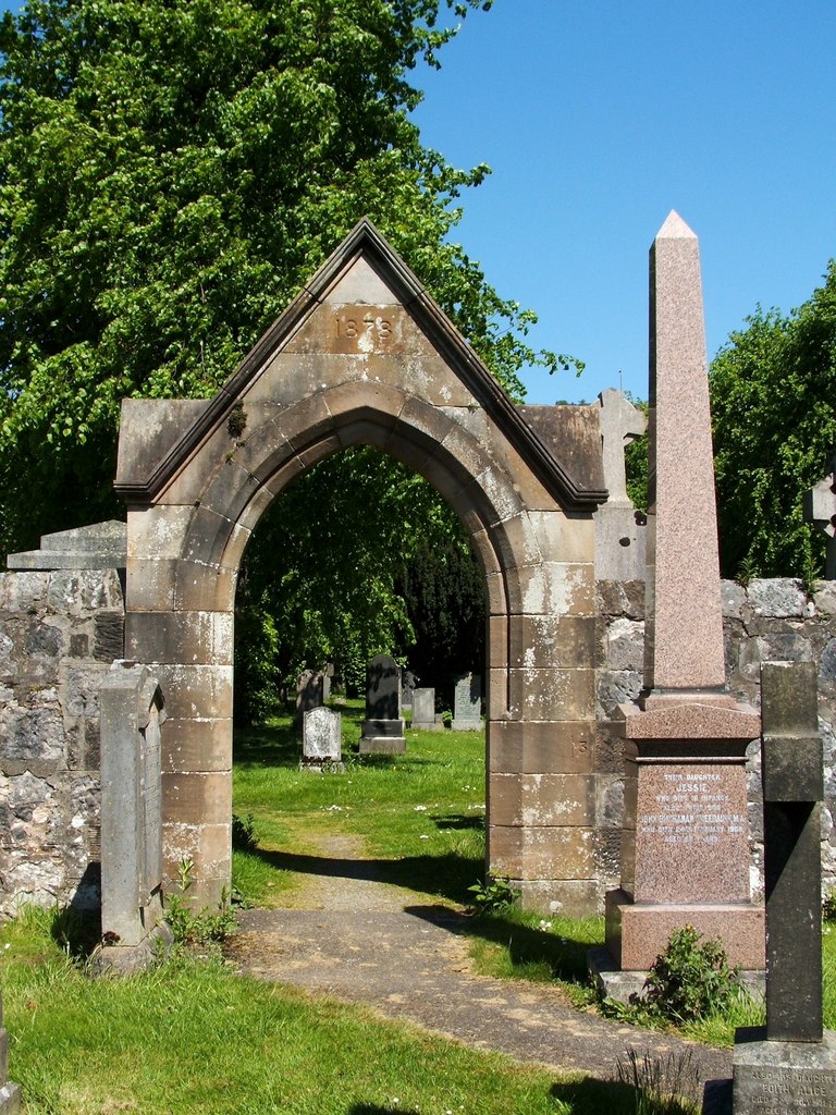
What is recorded here
Kilpatrick enclosure in County Louth is marked as a fort on the 1835 Ordnance Survey sheet, yet no visible surface trace remains. It may have been a boundary marker, a seasonal shelter or a forgotten dwelling, but the earth has taken back its shape. What is left is a name dropped into green fields, waiting for someone to walk past and wonder what it hid.
The following description is derived from both the published 'Archaeological Inventory of County Louth' (Dublin: Stationery Office, 1986) and the 'Archaeological Survey of County Louth' (Dublin: Stationery Office, 1991). In certain instances the entries have been revised and updated in the light of recent research.
Date of upload/revision: 17 July 2007
Marked as 'fort' on 1835 ed. of OS six-inch sheet. No visible surface trace.
The monument record does not grant public access. Check the route and ask the landowner before entering private land.
- What survives
- Recorded monument
Places near here
 St. Patricks WellHoly well · 158 yd
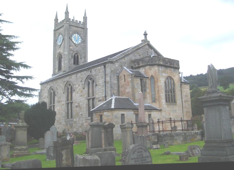 Church in KilpatrickChurch · 331 yd
 Kilpatrick Church (Site of)Church · 495 yd
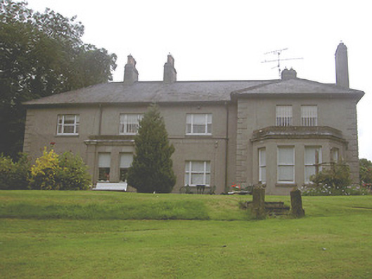 Kilpatrick Housecountry house · 540 yd
 CastleCastle, unclassified · 1543 yd
 Valley WoodWood · 1663 yd
 Screedoge HillMountain / peak · 1.6 mi
 European White ElmEuropean White Elm · 1.9 mi
 Dawsons MoatCastle, motte and bailey · 2.2 mi
 Sir Frederick Foster MemorialMemorial · 2.2 mi
 Graveyard in StickillinGraveyard · 2.7 mi
 Mount OrielMountain / peak · 2.9 mi
Other information
Photo: Credit not shown in the picture search · Rights wording not checked; contact us if this picture should be removed