What is recorded here
Situated on a relatively level, low-lying landscape. The aerial photograph (CUCAP: AYJ 75) shows the cropmark of a D-shaped enclosure (dims. c. 30m N–S; c. 30m E–W) with the straight side at N overlying the outer enclosure of concentric enclosure (WX007-023001-) at its E edge. These features are also visible on aerial photographs (MM (53) 25-7) and on the OSI series of aerial photographs (2005). It can be seen clearly on Google Earth (14/07/2018) as first reported by Simon Dowling.
Compiled by: Michael Moore
Date of upload: 15 March, 2012
Amended: 28 February 2020
The monument record does not grant public access. Check the route and ask the landowner before entering private land.
- What survives
- Recorded monument
Places near here
 Concentric enclosure in KilmurryConcentric enclosure · 51 yd
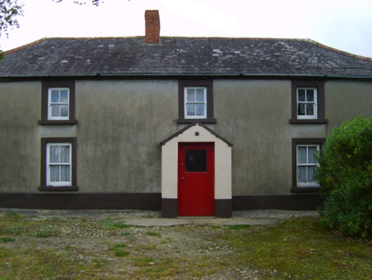 farm housefarm house · 627 yd
 Fulacht fia in BallyloughanFulacht fia · 1023 yd
 Kia Ora Mini FarmHeritage attraction · 1571 yd
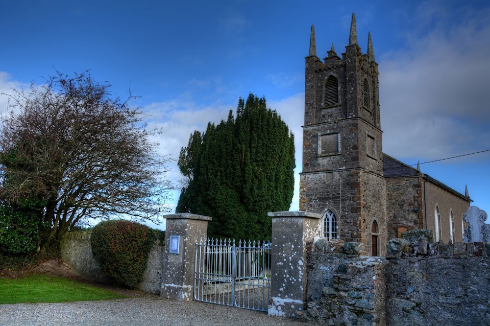 Kilmakilloge Church (in ruins)Church · 1631 yd
 Tara HillMountain / peak · 1.5 mi
 CastleCastle, unclassified · 1.6 mi
 Market HouseHeritage attraction · 2.0 mi
 Duffcarrig Rocks BeachBeach / strand · 2.4 mi
 1798 MonumentMemorial · 2.4 mi
 Holm OakHolm Oak · 2.6 mi
 Courtown WoodsWood · 2.7 mi