
What is recorded here
Circular enclosure (est. diam. c. 34m) with possible entrance at NW clearly visible on the 1995 OSI orthophotography (brought to the attention of ASI by Ms. Faith Bailey).
Compiled by: Claire Breen
Date of upload: 08 February 2013
The monument record does not grant public access. Check the route and ask the landowner before entering private land.
- What survives
- Recorded monument
Places near here
 Enclosure in Kilmullin (newcastle By., Newcastle Lower Ed)Enclosure · 151 yd
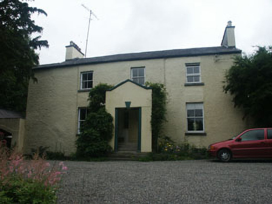 Warblebankhouse · 439 yd
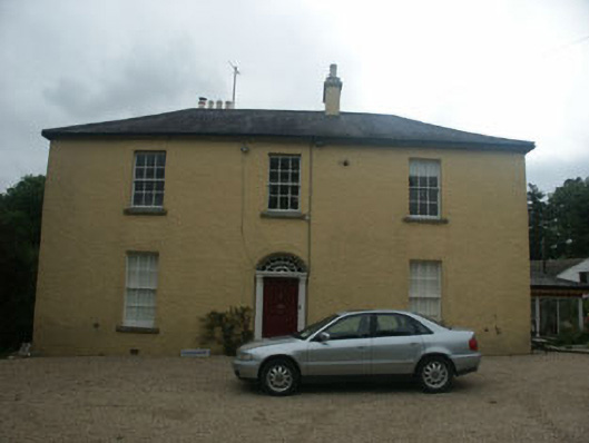 Springmounthouse · 574 yd
 St. Catherines WellHoly well · 1336 yd
 CastleCastle, motte · 1.1 mi
 SycamoreSycamore · 1.1 mi
 Castle (in Ruins)Castle, ringwork · 1.6 mi
 Kavannagh Real Christmas Trees FarmForest · 2.0 mi
 Glenroe FarmHeritage attraction · 2.5 mi
 Leamore StrandBeach / strand · 2.6 mi
 Delgany Heritage TrailWalking route · 3.2 mi
 Greystones South BeachBeach / strand · 4.1 mi
Other information
Photo: Credit not shown in the picture search · Rights wording not checked; contact us if this picture should be removed