What is recorded here
In improved pasture, on a gentle S-facing slope. Roughly circular area (dims. 50m N-S; 47m E-W) defined by remains of low bank (overall Wth 6.8m; Wth at top 2m; int. H 0.15m; ext. H 0.7m) W-WNW and NE-ENE and is best preserved (overall Wth 7.95m; Wth at top 3.25m; int. H 0.3m; ext. H 0.8m) NW-NE. Corner of field boundary truncates bank at ENE. Bank is reduced to scarp (Wth 2.85m; H 0.6m) WNW-NW and ENE-W. Entrance (Wth 7.5m) at NNE and at SE (Wth 6m). Fosse (overall Wth 7.65m; basal Wth 2.25m; D 0.45m) is best preserved W-ESE and is much shallower (overall Wth 6.05m; basal Wth 2m; D 0.1m) ESE-W. Fosse (overall Wth 8.75m; basal Wth 2.3m; D 0.7-0.9m) is shared W-NW where it is conjoined to enclosure (TS060-035001-). Interior has two shallow depressions within S-sector and has a S-facing slope. Possible traces of an outer bank (overall Wth 4.3m; Wth at top 1m; int. H 0.45m; ext. H 1.1m) at NNE. Within field system, possible (TS060- 2NEW).
Compiled by: Jean Farrelly
Date of upload: 26 August 2011
The monument record does not grant public access. Check the route and ask the landowner before entering private land.
- What survives
- Recorded monument
Places near here
 Enclosure in Kilmore UpperEnclosure · 125 yd
 Enclosure in Kilmore LowerEnclosure · 281 yd
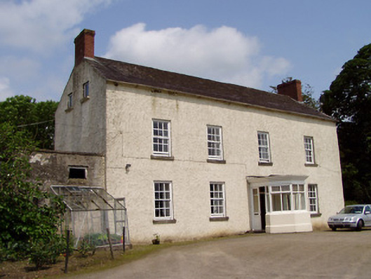 Kilmore Househouse · 443 yd
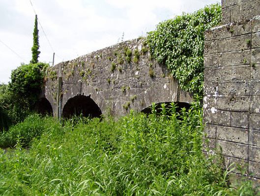 Aughnagross Bridgebridge · 447 yd
 Castle (in ruins)Castle, tower house · 1013 yd
 European ashEuropean ash · 1466 yd
 Bawn in Ballinaclogh (rathlynin Par.)Bawn · 1513 yd
 Dundrum Woods (Marl Bog)Forest · 2.8 mi
 Athassel PrioryHeritage attraction · 3.5 mi
 Hore AbbeyHeritage attraction · 4.8 mi
 The Maid of ErinMemorial · 7.4 mi
 The RockViewpoint · 8.7 mi
Other information
Photo: Credit not shown in the picture search · Rights wording not checked; contact us if this picture should be removed