What is recorded here
Aerial photographs (GB89. AF.05 & GB89. AE.07) show cropmark of a circular enclosure defined by a fosse and with a small contiguous cellular enclosure on its southern edge. This inner enclosure is surrounded by a widely spaced outer concentric fosse; a curved fosse extends from the outer enclosure suggesting the existence of a contiguous enclosure to the south-east.
The site was subject to geophysical survey (Licence no. 11R0152) which detected linear features that mirrored the location of the monument but subsequent test excavation (Licence no. 12E0063) failed to identify the features conclusively (Kavanagh 2012, 24).
Compiled by: Geraldine Stout
Updated by: Christine Baker
Date of upload: 20 January 2015
The monument record does not grant public access. Check the route and ask the landowner before entering private land.
- What survives
- Recorded monument
Places near here
 Ring-ditch in KilmartinRing-ditch · 344 yd
 Earthwork in KilmartinEarthwork · 681 yd
 TyrrelstownWood · 1307 yd
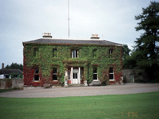 Tyrrelstown Housecountry house · 1334 yd
 Saint Thomas's Church (Mulhuddart)church/chapel · 1346 yd
 Graveyard in BuzzardstownGraveyard · 1.2 mi
 Wesley's WoodsWood · 1.7 mi
 Depicted Kilshane MoatCastle, motte · 2.3 mi
 Connaberry MoatCastle, motte and bailey · 3.0 mi
 Liam Ó MaoilíosaMemorial · 4.2 mi
 Griffeen Valley WalkWalking route · 6.0 mi
 Saint Wolstan'sHeritage attraction · 7.6 mi
Other information
Photo: Credit not shown in the picture search · Rights wording not checked; contact us if this picture should be removed