
What is recorded here
The OS 1837 map edition shows an elongated earthwork marked 'mound' (est. dims. L 15m, Wth.10m). This site is located in lowland tillage. Not visible at ground level.
Compiled by: Geraldine Stout
Updated by: Christine Baker
Date of upload: 18 January 2015
The monument record does not grant public access. Check the route and ask the landowner before entering private land.
- What survives
- Recorded monument
Places near here
 Ring-ditch in KilmartinRing-ditch · 346 yd
 Enclosure in KilmartinEnclosure · 412 yd
 Saint Thomas's Church (Mulhuddart)church/chapel · 1034 yd
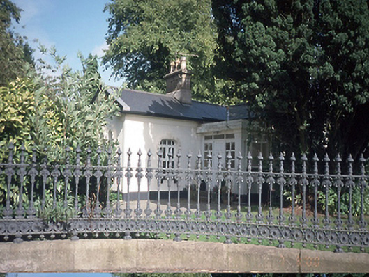 Hollywoodrathgate lodge · 1568 yd
 TyrrelstownWood · 1.1 mi
 Wesley's WoodsWood · 1.3 mi
 Graveyard in BuzzardstownGraveyard · 1.5 mi
 Kilbride MoatCastle, motte · 1.7 mi
 CastleCastle, unclassified · 2.1 mi
 Church, GraveyardChurch · 3.6 mi
 Horizon Logistics ParkVisitor information · 4.3 mi
 Griffeen Valley WalkWalking route · 6.4 mi
Other information
Photo: Credit not shown in the picture search · Rights wording not checked; contact us if this picture should be removed