
What is recorded here
Aerial photograph (GB89. AE.12) shows cropmark of a curvilinear enclosure defined by a fosse. The site was subject to geophysical survey (Licence no. 11R0152) and subsequent test excavation (Licence no. 12E0063) which identified a curved linear ditch (1.45m wide, 0.45m deep) (Kavanagh 2012, 24).
Compiled by: Geraldine Stout
Updated by: Christine Baker
Date of upload: 20 January 2015
The monument record does not grant public access. Check the route and ask the landowner before entering private land.
- What survives
- Recorded monument
Places near here
 Ring-ditch in KilmartinRing-ditch · 149 yd
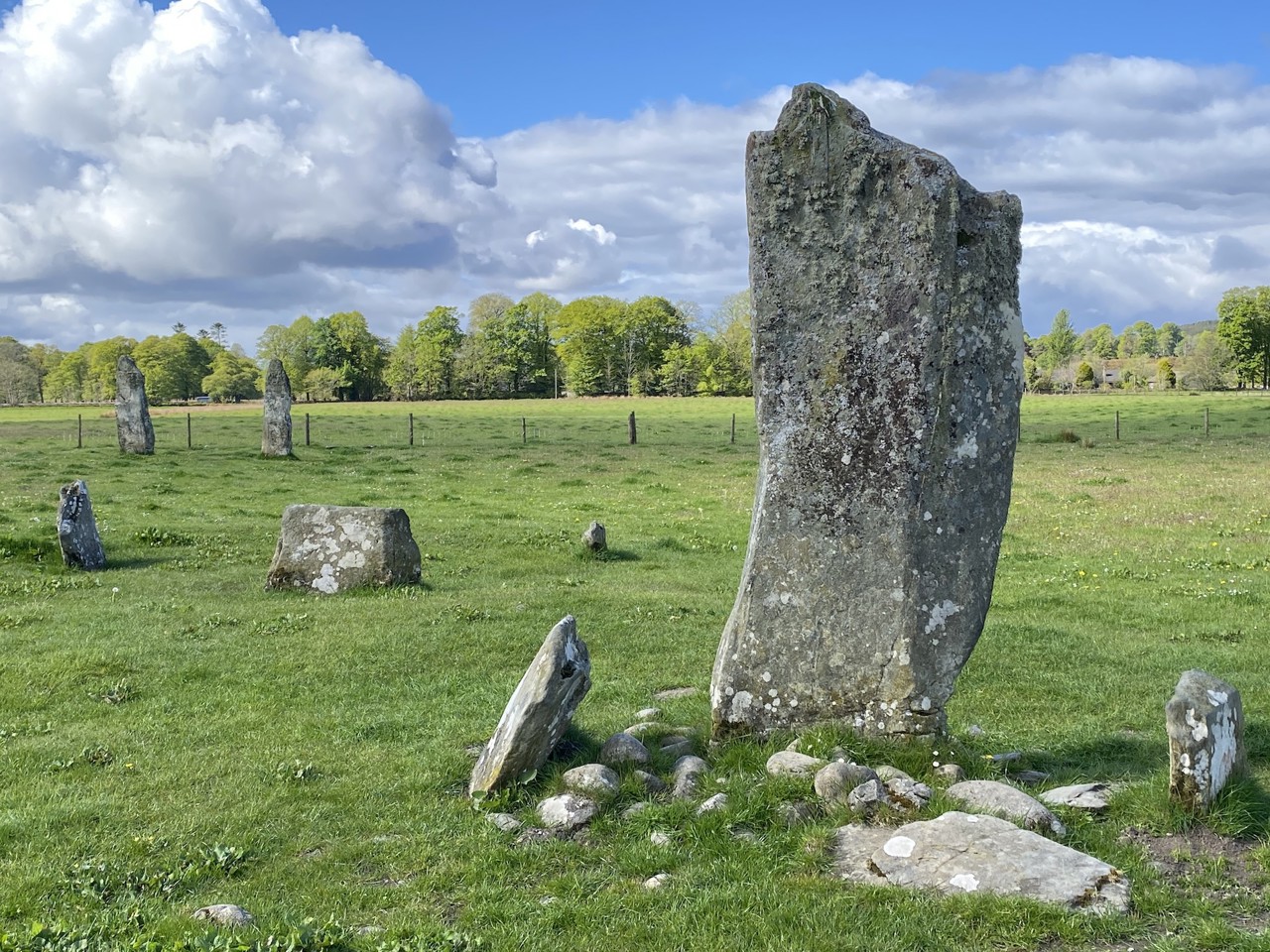 Enclosure in KilmartinEnclosure · 382 yd
 Saint Thomas's Church (Mulhuddart)church/chapel · 986 yd
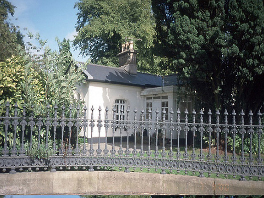 Hollywoodrathgate lodge · 1323 yd
 TyrrelstownWood · 1620 yd
 Graveyard in BuzzardstownGraveyard · 1.3 mi
 Wesley's WoodsWood · 1.6 mi
 Kilbride MoatCastle, motte · 1.9 mi
 Depicted Kilshane MoatCastle, motte · 2.1 mi
 Liam Ó MaoilíosaMemorial · 4.2 mi
 Griffeen Valley WalkWalking route · 6.2 mi
 Saint Wolstan'sHeritage attraction · 7.8 mi
Other information
Photo: Credit not shown in the picture search · Rights wording not checked; contact us if this picture should be removed