What is recorded here
Situated in tillage close to the Pinkeen River. An aerial photograph taken in 1968 (CUCAP, AVR 58) shows cropmark evidence for a roughly circular enclosure (diam. c. 35m). Visible on Bing (viewed 18/01/2015). There appears to be an entrance in the SE. Not visible at ground level.
Compiled by: Geraldine Stout
Updated by: Christine Baker
Date of upload: 18 January 2015
The monument record does not grant public access. Check the route and ask the landowner before entering private land.
- What survives
- Recorded monument
Places near here
 Enclosure in CalliaghweeEnclosure · 384 yd
 Enclosure in PowerstownEnclosure · 1051 yd
 Wesley's WoodsWood · 1.1 mi
 Caulstown Christmas Tree FarmForest · 1.4 mi
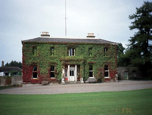 Tyrrelstown Housecountry house · 1.5 mi
 Saint Thomas's Church (Mulhuddart)church/chapel · 1.7 mi
 Kilbride MoatCastle, motte · 1.9 mi
 Graveyard in BuzzardstownGraveyard · 2.0 mi
 Blanchardstown Centre information deskVisitor information · 3.1 mi
 Depicted Kilshane MoatCastle, motte · 3.3 mi
 Church, GraveyardChurch · 3.4 mi
 Church (site of)Church · 1056 yd