
What is recorded here
Kilmartin is a church and an enclosed sacred place. It is no longer visible because the ground was levelled and farmed. The road still bends around the old boundary, preserving the shape of a place people once believed worth protecting.
The OS 1837 map shows a 'church' within an enclosure at Kilmartin (DU013-002002-). The ecclesiastical enclosure is visible as a cropmark on aerial photographs (OS 8/7584). There is a possible outer enclosure which the road bends to respect (L. E-W c. 150m, Wth N-S c. 110m). These remains were levelled between 1971-76. Today this is an area of lowland tillage which has experienced large, scale field fence removal. No visible surface trace. Aerial photograph (GB89. AE.10) provides a view of the location of the church surrounded by a curvilinear enclosure defined by two widely spaced fosses. Not visible at ground level.
Compiled by: Geraldine Stout
Updated by: Christine Baker
Date of upload: 18 January 2015
The monument record does not grant public access. Check the route and ask the landowner before entering private land.
- What survives
- Recorded monument
Places near here
 IndicatedField system · 199 yd
 Earthwork in KilmartinEarthwork · 818 yd
 Saint Thomas's Church (Mulhuddart)church/chapel · 1.1 mi
 Wesley's WoodsWood · 1.1 mi
 TyrrelstownWood · 1.2 mi
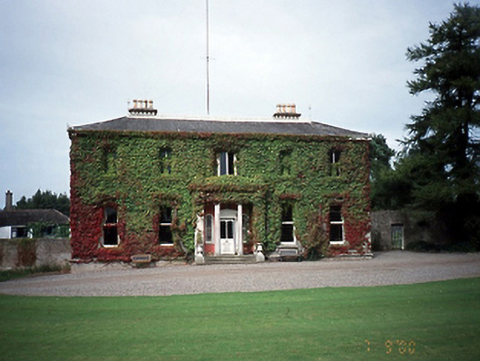 Tyrrelstown Housecountry house · 1.2 mi
 Kilbride MoatCastle, motte · 1.6 mi
 Graveyard in BuzzardstownGraveyard · 1.7 mi
 Depicted Kilshane MoatCastle, motte · 2.7 mi
 Blanchardstown Centre information deskVisitor information · 2.9 mi
 Church, GraveyardChurch · 3.5 mi
 Horizon Logistics ParkVisitor information · 4.7 mi
Other information
Photo: Credit not shown in the picture search · Rights wording not checked; contact us if this picture should be removed