What is recorded here
Kilmanagh held Murray's Fort and two raths until people destroyed them, erasing markers that once divided ownership, memory, and maybe destiny. They vanished before modern mapping, leaving behind a gap where identity should have stood. Forgetting is not neutrality; it is a knife.
O'Kelly (1969, 16) describing Kilmanagh townland mentions, 'a fort called Murray's Fort, and two raths which were destroyed a few years ago'. There are no enclosures indicated on the 1st (1839) ed. OS 6-inch map or on the 1900 revision. The location of these enclosures (KK018-091----; KK018-092----; KK018-093----) within the townland is unknown.
Compiled by: Jean Farrelly
Date of upload: 8 July 2020
The monument record does not grant public access. Check the route and ask the landowner before entering private land.
- What survives
- Recorded monument
Places near here
 W.F. Ryanhouse · 603 yd
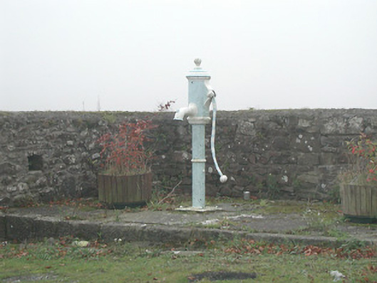 water pumpwater pump · 629 yd
 IndicatedEnclosure · 771 yd
 OutlinedEnclosure · 1096 yd
 Castle (in ruins)Castle, unclassified · 1.0 mi
 Ballykeeffe Mass RockNamed rock · 1.5 mi
 Ballykeefe AmphitheatreHeritage attraction · 1.5 mi
 Ballykeefe QuarryCliff · 1.5 mi
 Site of CastleCastle, unclassified · 1.6 mi
 Ballykeefe WoodForest · 1.6 mi
 Killeen Fox CovertForest · 1.6 mi
 Saint Brigid's WellSpring · 3.0 mi