What is recorded here
Enclosure in Kilmaglin is a hidden ringfort in County Carlow, Ireland. Aerial photography reveals a circular area fifty-five metres across, surrounded by a broad bank and outer ditch, with another enclosed field attached at the edge. No walls remain visible, but the shape preserves the footprint of a defended home and its working land.
The following description is derived from the published 'Archaeological Inventory of County Carlow' (Dublin: Stationery Office, 1993). In certain instances the entries have been revised and updated in the light of recent research.
Date of upload/revision: 8 July 2011
Aerial photograph (CUCAP BDO 56) shows very well developed cropmarks of almost circular area (est max. diam. c. 55m), enclosed by cropmarks of broad bank with external fosse. Field with similar bank and ditch enclosure, attached on E-S-W. No visible surface traces. Possibly a ringfort (CW017-001001-) with annexe.
The monument record does not grant public access. Check the route and ask the landowner before entering private land.
- What survives
- Recorded monument
Places near here
 Enclosure in KilmaglinEnclosure · 1 yd
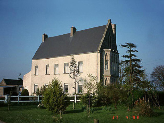 Kilconner Housecountry house · 800 yd
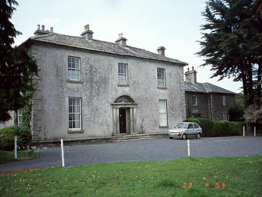 Lumclooncountry house · 1452 yd
 Enclosure in KilbrickanEnclosure · 1702 yd
 Church (in ruins), GraveyardChurch · 2.1 mi
 Graiguenaspiddoge Castle in ruinsCastle, tower house · 2.4 mi
 Graiguealug Castle in ruinsCastle, unclassified · 2.8 mi
 Kilmurry Church (in ruins), GraveyardChurch · 3.2 mi
 Carrig WoodWood · 3.3 mi
 Sessile OakSessile Oak · 3.7 mi
 Altamont Gardens MapVisitor information · 4.9 mi
 Altamont House and GardensHeritage attraction · 5.0 mi