What is recorded here
In pasture. Depicted as hachured D-shaped enclosure (inner set of hachures form oval shape) at E side of irregularly shaped field, planted with trees, on 1842 OS 6-inch map; well at outer face of W bank has stream flowing from it, respecting S half of curved bank and continuing straight (E) beyond enclosure to join larger stream. Levelled; no visible surface trace of site. Surrounding field fences removed.
The above description is derived from the published 'Archaeological Inventory of County Cork. Volume 4: North Cork' (Dublin: Stationery Office, 2000). In certain instances the entries have been revised and updated in the light of recent research.
Date of upload/revision: 14 January 2009
The monument record does not grant public access. Check the route and ask the landowner before entering private land.
- What survives
- Recorded monument
Places near here
 Kilmacoomhouse · 389 yd
 Enclosure in Ballybrack (fermoy By.)Enclosure · 465 yd
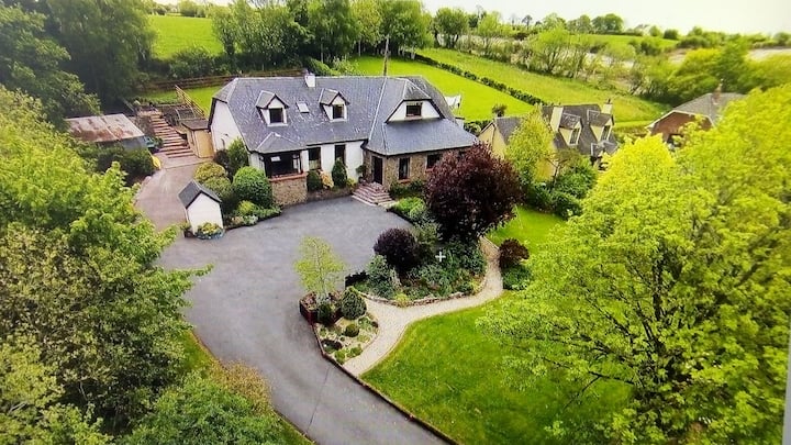 Fort WilliamHouse, vernacular house · 512 yd
 Caherduggan Castle (Site of)Castle, unclassified · 1126 yd
 IndicatedQuarry · 1550 yd
 Scots PineScots Pine · 1.6 mi
 CastleCastle, unclassified · 1.8 mi
 Doneraile HouseHeritage attraction · 1.8 mi
 European YewEuropean Yew · 1.9 mi
 Smith's WellSpring · 2.1 mi
 Lover' LeapCliff · 4.4 mi
 Lover's LeapCliff · 4.4 mi