What is recorded here
In low lying, poorly drained pasture. Identified aerial photograph (Bruff Survey: Map 15, no 24; 4/3729) as 'subrectangular platform, c. 35m x 30m, enclosed by ditch with possible internal bank' (Doody 2008, 130). The monument has been levelled and was not evident when site inspected. The morphology of this enclosure indicates that it may be Bronze Age in date (ibid.).
Compiled by: Denis Power
Date of upload: 5 November 2013
The monument record does not grant public access. Check the route and ask the landowner before entering private land.
- What survives
- Recorded monument
Places near here
 Field system in Cunnagavale,dromalta,killuraghField system · 48 yd
 Tower HillCastle, unclassified · 481 yd
 Field system in KilluraghField system · 731 yd
 Old Bridgebridge · 1487 yd
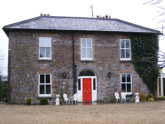 Sunville Househouse · 1.0 mi
 CastleCastle, unclassified · 1.7 mi
 ToberagaddySpring · 2.0 mi
 KnockseefinMountain / peak · 2.3 mi
 Graveyard in AbingtonGraveyard · 4.4 mi
 Sliev Felim WayVisitor information · 4.7 mi
 St. Patrick's WellSpring · 5.1 mi
 Kilteely HillMountain / peak · 5.5 mi