What is recorded here
Situated in flat reclaimed pasture with good views in all directions. Identified from aerial photograph (Bruff Survey: Map 15, no 26.1; 4/3728) as 'oval ditched enclosure, c. 40m x 30m, with possible external bank' (Doody 2008 130); a possible ring barrow (LI015-067001-) was visible at its centre. The monument has been levelled and a slight depression is now evident at this location (22m NW-SE; D 0.2m). The morphology of this enclosure indicates that it may be Bronze Age in date (ibid.).
Compiled by: Denis Power
Date of upload: 5 November 2013
The monument record does not grant public access. Check the route and ask the landowner before entering private land.
- What survives
- Recorded monument
Places near here
 Field system in KilluraghField system · 261 yd
 Field system in Cunnagavale,dromalta,killuraghField system · 568 yd
 Tower HillCastle, unclassified · 959 yd
 Old Bridgebridge · 1101 yd
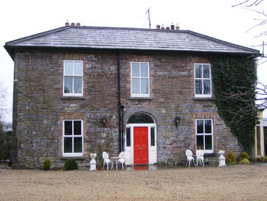 Sunville Househouse · 1525 yd
 CastleCastle, unclassified · 1.8 mi
 ToberagaddySpring · 1.9 mi
 KnockseefinMountain / peak · 2.4 mi
 Graveyard in AbingtonGraveyard · 4.7 mi
 Sliev Felim WayVisitor information · 4.9 mi
 St. Patrick's WellSpring · 5.2 mi
 Oola HillMountain / peak · 5.5 mi