
What is recorded here
Not marked on the 1837 edition of the OS 6-inch map but depicted on the 1913 revision as a semi-circular hachured area (c. 20m NW-SE; c. 10m NE-SW). The site has been levelled and there are no remains now visible at ground level.
Compiled by: Patrick F. O'Donovan
Date of upload: 19 January 2011
The monument record does not grant public access. Check the route and ask the landowner before entering private land.
- What survives
- Recorded monument
Places near here
 IndicatedEnclosure · 178 yd
 Cooanmore PointHeadland · 752 yd
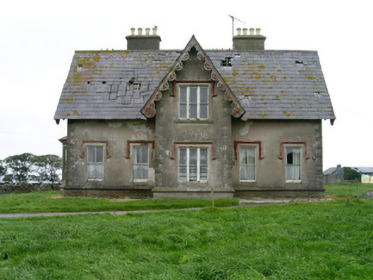 Templeviewhouse · 853 yd
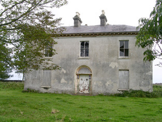 Easky Househouse · 1067 yd
 Jim Smith MemorialMemorial · 1069 yd
 Split RockNamed rock · 1522 yd
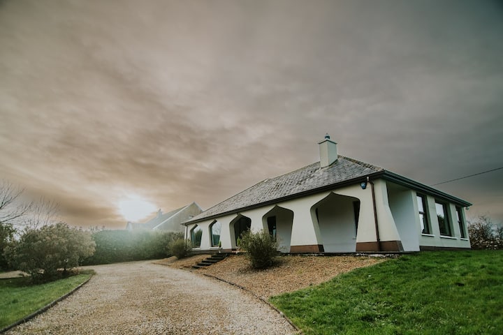 Enclosure in BunownaEnclosure · 1560 yd
 Wild Atlantic Way: Easky PierVisitor information · 1.1 mi
 Roslee CastleCastle, tower house · 1.2 mi
 Bawn in CastletownBawn · 1.3 mi
 Aughris BeachBeach / strand · 7.2 mi
 Wild Atlantic Way: Inishcrone PierVisitor information · 8.2 mi
Other information
Photo: Credit not shown in the picture search · Rights wording not checked; contact us if this picture should be removed