
What is recorded here
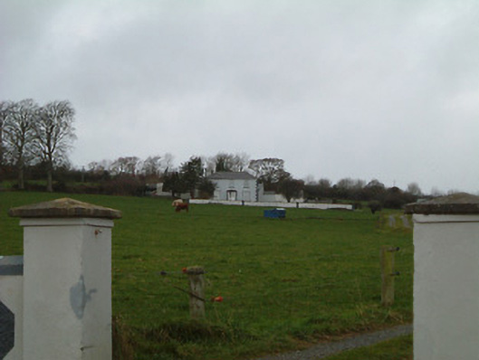
On a W-facing slope, immediately W of a farmyard, with extensive views to the N, S and W (Ó Drisceoil 2006, 5). Indicated on the 1st (1839) ed. OS 6-inch map and on the later 1900 revision it is depicted as roughly rectangular enclosure (dims. c. 56m N-S; c. 54m E-W) with rounded corners and an external fosse. The Munster River flows c. 430m to the W-SW.
The enclosure is defined by a bank (H c. 1.5m) and fosse (D c. 2m), the latter being particularly well-preserved in the S and W sectors (ibid.). The bank and fosse are heavily overgrown with trees and undergrowth (ibid.).
Reference:
Ó Drisceoil, C. 2006 Archaelogical impact assessment: proposed housing development at Killeen, Kilmanagh, Co. Kilkenny. Excavation licence number 06E0861. Unpublished assessment report. Kilkenny Archaeology.
Compiled by: Jean Farrelly
Date of upload: 15 March 2023
The monument record does not grant public access. Check the route and ask the landowner before entering private land.
- What survives
- Recorded monument
Places near here
 Enclosure in Killeen (crannagh By.)Enclosure · 513 yd
 bridgebridge · 536 yd
 IndicatedFairy fort / earthen ringfort · 1132 yd
 Killeen Fox CovertForest · 1453 yd
 Bansehouse · 1.6 mi
 Castle (in ruins)Castle, unclassified · 1.6 mi
 Farranrory CastleCastle · 1.7 mi
 Warhouse HillMountain / peak · 1.9 mi
 The Lower Field Beside the LaneForest · 2.1 mi
 Ballykeefe AmphitheatreHeritage attraction · 3.4 mi
 Ballykeefe QuarryCliff · 3.4 mi
 Ballykeeffe Mass RockNamed rock · 3.6 mi
Other information
Photo: Credit not shown in the picture search · Rights wording not checked; contact us if this picture should be removed