What is recorded here
In undulating boggy marshland to the south of Knockaffrin Lough. Poorly preserved, much-overgrown subcircular enclosure (E-W 25.6m, N-S 23.6m) defined by a bank of earth and stone, no visible trace of which occurs from WNW to N. Gaps occur at ESE, S and SW. (CUCAP BGI 41)
The above description is derived from the published 'Archaeological Inventory of County Galway Vol. I - West Galway'. Compiled by Paul Gosling (Dublin: Stationery Office, 1993).
Date of upload: 05 August 2010
This remains an important historical record, but the official description says the monument is no longer visible or has been destroyed. The monument record does not grant public access. Check the route and ask the landowner before entering private land.
- What survives
- No visible remains or recorded as destroyed
Places near here
 AltarPenitential station · 709 yd
 Enclosure in CarrowndullaEnclosure · 1047 yd
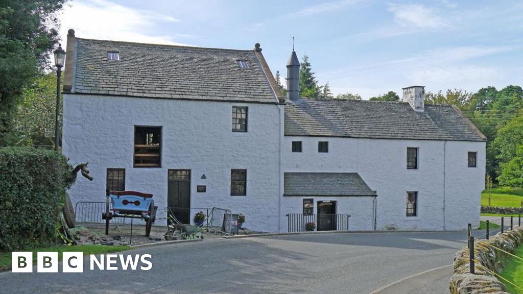 Corn MillMill, corn · 1067 yd
 IndicatedEnclosure · 1.2 mi
 Annagh WoodWood · 2.1 mi
 Aughnanure Castle (in ruins)Castle, tower house · 2.2 mi
 Brigit's GardenHeritage attraction · 2.6 mi
 Oghery Castle in ruinsCastle, unclassified · 2.7 mi
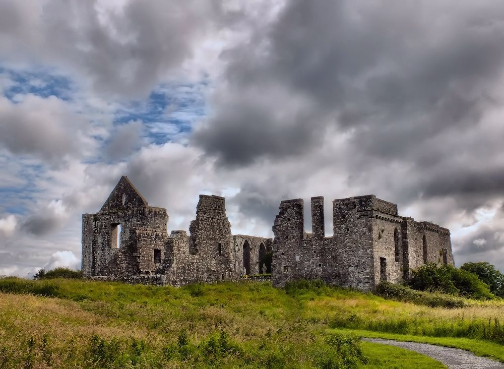 Cnoc an Bhaile NuaMountain / peak · 3.3 mi
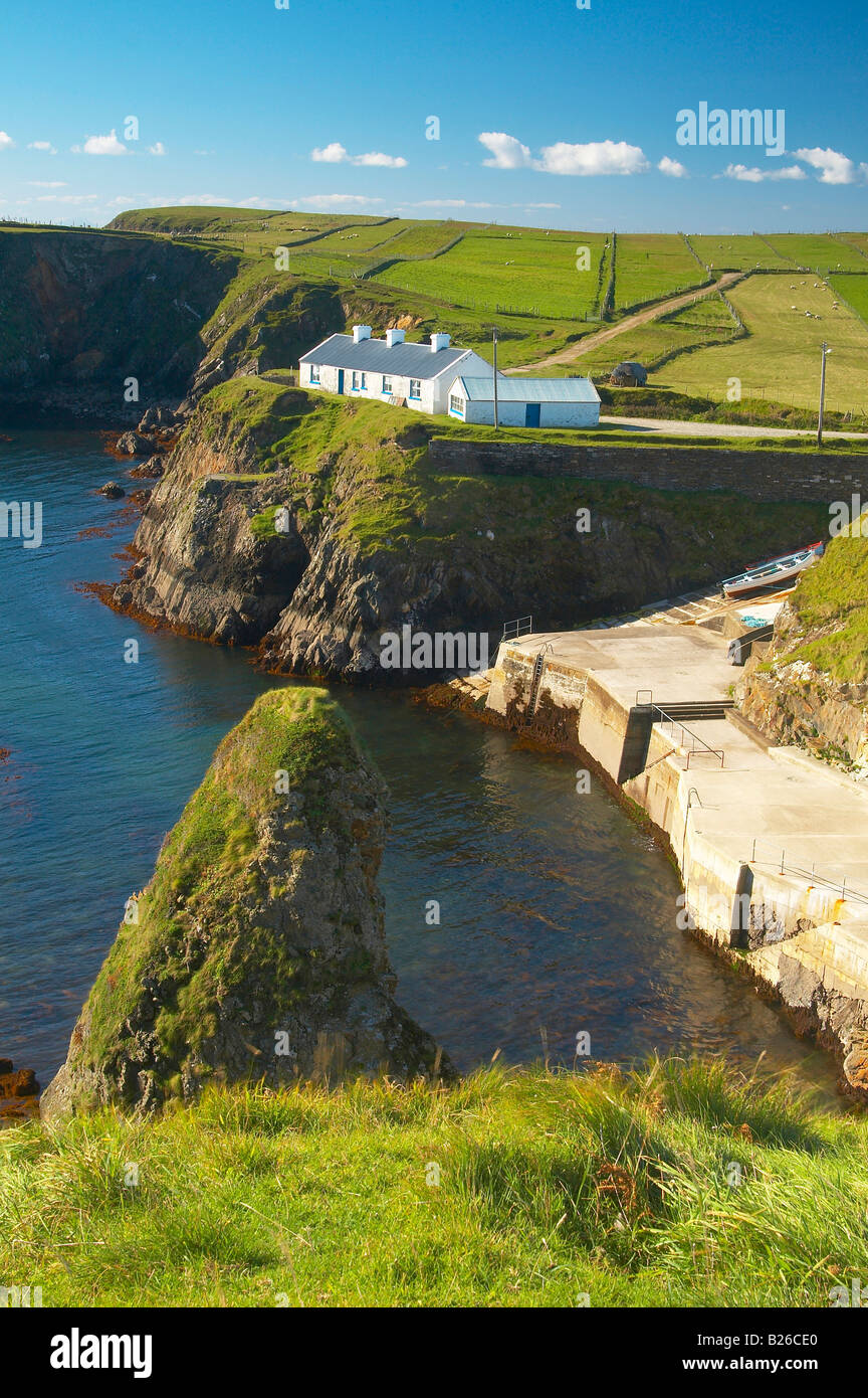 Illaunfadda BegIslet · 3.4 mi
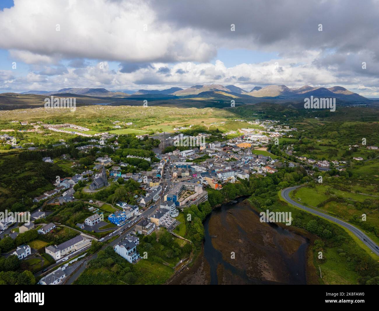 SnahadaunIslet · 3.4 mi
 Owenriff WayWalking route · 3.6 mi