
What is recorded here
In reclaimed pasture, immediately E of a stream and 74m N of townland boundary with Garrison. Ring-barrow (LI024-174002-) lies 40m to NW and ring-barrow (LI24-174003-) lies 40m to W. Not depicted on OS historical mapping. Identified by the Bruff aerial photographic survey in 1986 (Bruff 85; AP 4/3678) as a semi-circular shaped cropmark of a possible enclosure. Cropmark is not visible on Digital Globe orthophoto taken 2011-2013 or on Google Earth orthoimage taken 18/11/2018. Cropmark evidence is unconvincing for the presence of an enclosure or an archaeological monument at this location.
See attached Google Earth orthoimage and Bruff Survey aerial image labelled Bruff 85
Compiled by: Fiona Rooney
Date of upload: 24 July 2020
The monument record does not grant public access. Check the route and ask the landowner before entering private land.
- What survives
- Recorded monument
Places near here
 Enclosure in KilduffEnclosure · 219 yd
 EnclosureEnclosure, large enclosure · 690 yd
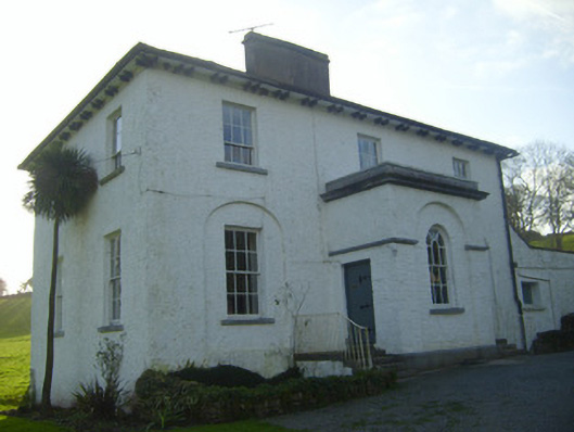 Moymore Houserectory/glebe/vicarage/curate's house · 784 yd
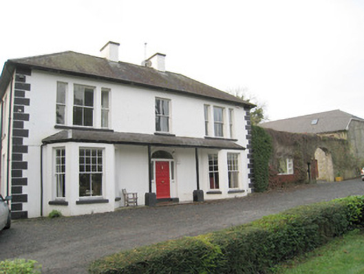 Mount Catherinehouse · 1093 yd
 Kilduff Castle (in ruins)Castle, tower house · 1355 yd
 Kilduff CastleCastle · 1355 yd
 ToberagaddySpring · 1377 yd
 KnockseefinMountain / peak · 1.1 mi
 St. Patrick's WellSpring · 3.2 mi
 Kilteely HillMountain / peak · 3.6 mi
 Flat cemetery in Knockainy WestFlat cemetery · 7.5 mi
 Enclosure in Pallas (coonagh By.)Enclosure · 765 yd
Other information
Photo: Credit not shown in the picture search · Rights wording not checked; contact us if this picture should be removed