
What is recorded here
Twenty-four metres of low stoney bank circle a divided chamber above the medieval church, forcing whoever entered to confront the wide valley before touching the sacred ground. The scarp cuts the interior in two, perhaps separating the living from the dead or marking where breath left the body. Thorn bushes still choke the entrance, protecting the boundary between ordinary sight and the depth below.
On a steep slope N-facing slope on the S side of valley, a little above the slight terrace occupied by a medieval church (KK012-059001-) and graveyard (KK012-059002-), in reclaimed grassland. There are very good views across and along valley to the N, E and W. A sub-rectangular area (dims. 24m E-W; 23m N-S) enclosed by a low stoney bank (Wth c. 1m; int. H c. 0.15m at N, c. 0.5m at S; ext. H c. 0.5m at N, almost level at S) with rounded corners. The interior is divided in two by a low scarp (H 0.56m) running E-W. The monument is overgrown with scrub and thorn bushes.
Compiled by: Jean Farrelly
Date of upload: 15 June 2019
The monument record does not grant public access. Check the route and ask the landowner before entering private land.
- What survives
- Recorded monument
Places near here
 IndicatedHoly well · 744 yd
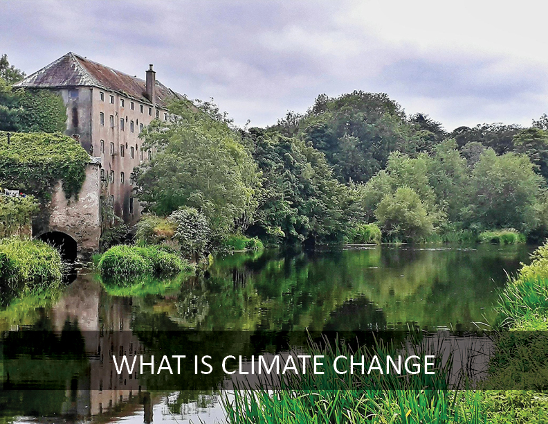 Enclosure in ParksEnclosure · 1057 yd
 Kildrinagh WoodForest · 1211 yd
 CastleCastle, tower house · 1425 yd
 Killahy Castle in ruinsCastle, unclassified · 1735 yd
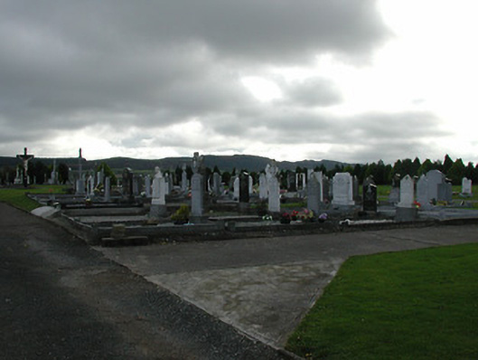 Saint Patrick's Catholic Churchgraveyard/cemetery · 1.1 mi
 rectory/glebe/vicarage/curate's houserectory/glebe/vicarage/curate's house · 1.1 mi
 Four Acre WoodForest · 2.1 mi
 Kilcooly AbbeyHeritage attraction · 3.1 mi
 Clomantagh HillMountain / peak · 3.7 mi
 Bregaun HillMountain / peak · 4.3 mi
 John HelyMemorial · 4.7 mi
Other information
Photo: Credit not shown in the picture search · Rights wording not checked; contact us if this picture should be removed