
What is recorded here
This monument was subject to geophysical survey (Licence no. 09R195) and test excavation (Licence no. 10E0462) as part of the proposed Metro West development. A sub rectangular enclosure (35m x 25m.) was identified on the geophysical survey and confirmed through test excavation. Two postholes were located either side of the ditch (0.55m wide and 0.25m deep) suggesting the possibility of a palisade. Two corn-drying kilns (DU014-122002-; DU014-122003-) are situated at the S of the enclosure (O’Donovan 2010, 18).
Compiled by: Christine Baker
Date of upload: 6 February 2015
The monument record does not grant public access. Check the route and ask the landowner before entering private land.
- What survives
- Recorded monument
Places near here
 Enclosure in CappogeEnclosure · 360 yd
 Earthwork in Johnstown (castleknock By., Blanchardstown Ed)Earthwork · 1074 yd
 Liam Ó MaoilíosaMemorial · 1355 yd
 The Old Red LionInn · 1358 yd
 Site of CastleCastle, tower house · 1425 yd
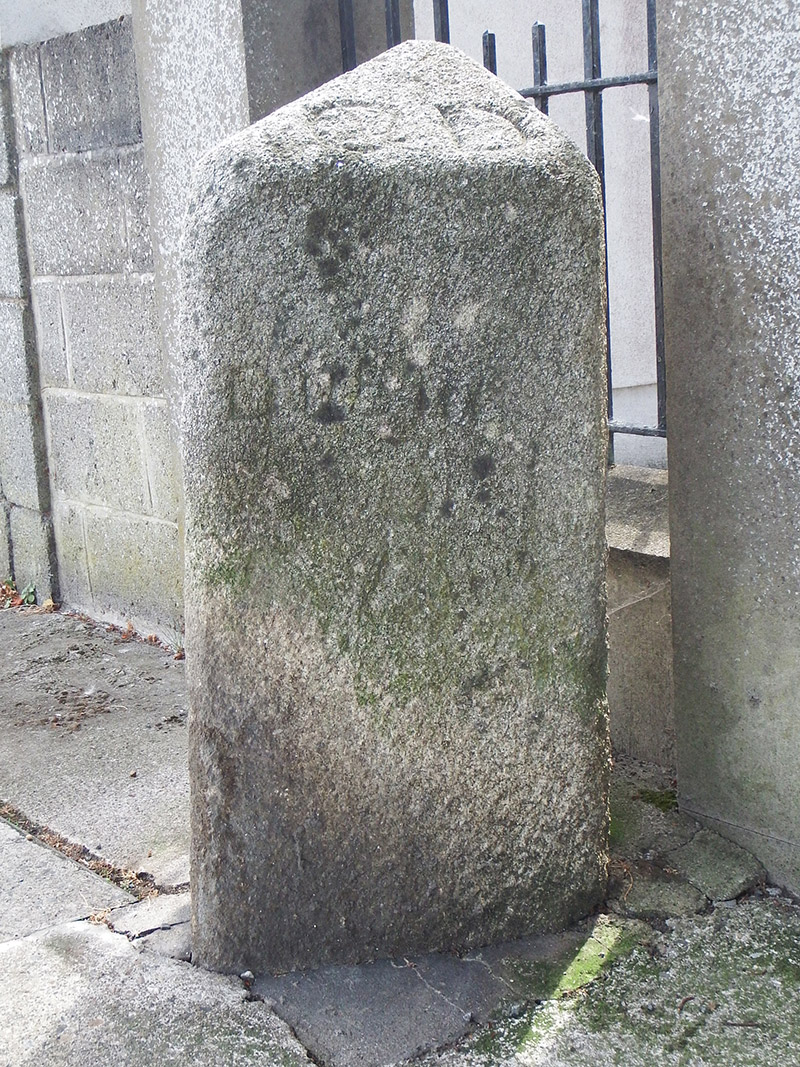 milestone/milepostmilestone/milepost · 1628 yd
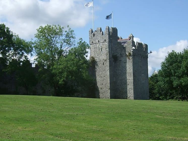 Dubber Castle (site of)Castle, unclassified · 1.1 mi
 Richard McKeeMemorial · 1.3 mi
 Horizon Logistics ParkVisitor information · 1.7 mi
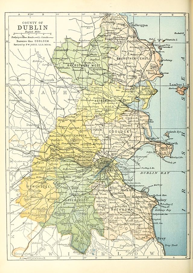 UHVisitor information · 2.6 mi
 BaldcypressBaldcypress · 2.7 mi
 Dawn RedwoodDawn Redwood · 2.8 mi
Other information
Photo: Credit not shown in the picture search · Rights wording not checked; contact us if this picture should be removed