What is recorded here
Water still moves through Kildinan beneath the grass, filling the forgotten circular chamber that mapmakers marked forty metres wide before the land swallowed it. The mill lives only in local memory now, its stones and gears lost to wet earth, yet the enclosure remains a temporary room where water still works. What the mill touched, the landscape kept.
In level wet area. Hachured as circular enclosure (diam. c. 40m) on 1904 and 1935 OS 6-inch maps. No visible surface trace. According to local tradition site of mill.
The above description is derived from the published 'Archaeological Inventory of County Cork. Volume 2: East and South Cork' (Dublin: Stationery Office, 1994). In certain instances the entries have been revised and updated in the light of recent research.
Date of upload/revision: 14 January 2009
The monument record does not grant public access. Check the route and ask the landowner before entering private land.
- What survives
- Recorded monument
Places near here
 Grave Yard (Disused)Graveyard · 1350 yd
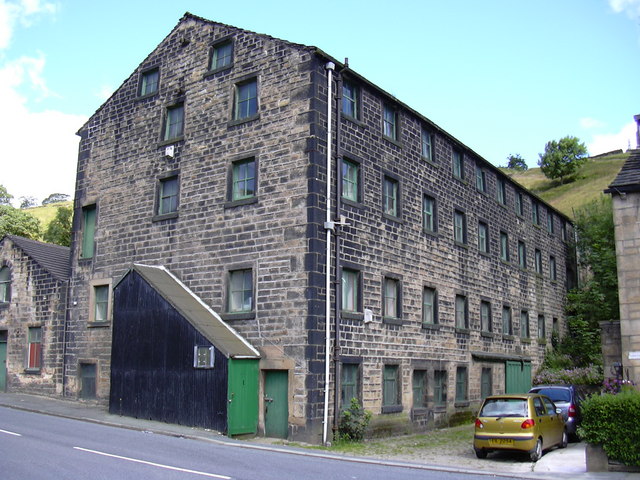 Tuck Mill (Disused)Mill, fulling · 1428 yd
 Castle (in Ruins)Castle, unclassified · 1446 yd
 Corbally Bridgebridge · 1562 yd
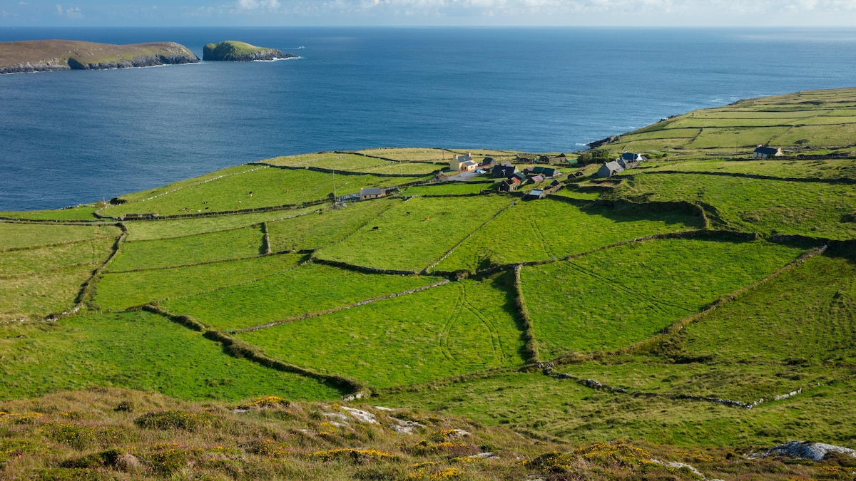 IndicatedFairy fort / earthen ringfort · 1.4 mi
 Graveyard in Killuntin NorthGraveyard · 1.6 mi
 Graveyard in GlenvilleGraveyard · 2.7 mi
 Cappagh XViewpoint · 3.1 mi
 Coolmucy WoodWood · 4.1 mi
 Devonshire's HillMountain / peak · 4.3 mi
 Tower (in Ruins)Bawn · 4.3 mi
 Rathcormac massacremassacre · 4.5 mi